File:Heladería Fili.jpg
Jump to navigation
Jump to search
Size of this preview: 653 × 600 pixels. Other resolutions: 261 × 240 pixels | 523 × 480 pixels | 836 × 768 pixels | 1,115 × 1,024 pixels | 2,230 × 2,048 pixels | 2,912 × 2,674 pixels.
Original file (2,912 × 2,674 pixels, file size: 2.72 MB, MIME type: image/jpeg)
Captions
Captions
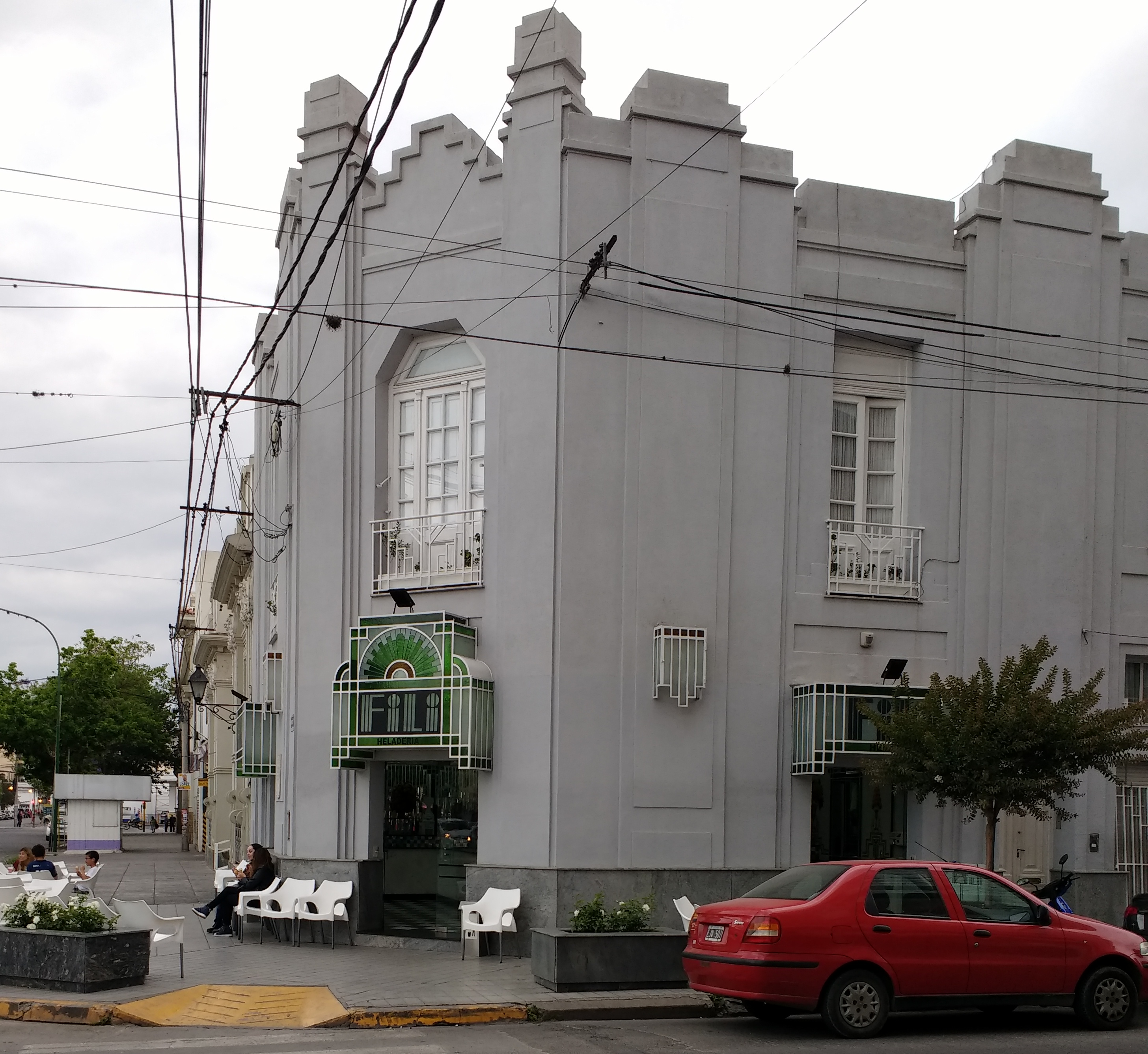
Heladería Fili, Salta, Argentina
Summary
[edit]
| Description | Heladería Fili, Salta, Argentina. |
| Date | 25 November 2017 (according to Exif data) |
| Source | Own work |
| Author | Mx. Granger |
| Camera location | | View this and other nearby images on: OpenStreetMap |
|---|
Licensing
[edit]
I, the copyright holder of this work, hereby publish it under the following license:
| This file is made available under the Creative Commons CC0 1.0 Universal Public Domain Dedication. | |
| The person who associated a work with this deed has dedicated the work to the public domain by waiving all of their rights to the work worldwide under copyright law, including all related and neighboring rights, to the extent allowed by law. You can copy, modify, distribute and perform the work, even for commercial purposes, all without asking permission.
|
| This file was uploaded via Mobile Android App (Commons mobile app) 2.4.2. |
|
Argentina has no "freedom of panorama" provision in its copyright law. At least some think there is de facto freedom of panorama in Argentina regarding buildings:
|
File history
Click on a date/time to view the file as it appeared at that time.
| Date/Time | Thumbnail | Dimensions | User | Comment | |
|---|---|---|---|---|---|
| current | 01:56, 26 November 2017 | | 2,912 × 2,674 (2.72 MB) | Mx. Granger (talk | contribs) | Cropped 7 % horizontally and 36 % vertically using CropTool with lossless mode. |
| 01:52, 26 November 2017 |  | 3,120 × 4,160 (4.13 MB) | Mx. Granger (talk | contribs) | Uploaded using Android Commons app |
You cannot overwrite this file.
File usage on Commons
The following page uses this file:
File usage on other wikis
The following other wikis use this file:
- Usage on en.wikivoyage.org