File:Heart Peaks and Level Mountain.jpg
Jump to navigation
Jump to search
No higher resolution available.
Heart_Peaks_and_Level_Mountain.jpg (544 × 493 pixels, file size: 45 KB, MIME type: image/jpeg)
Captions
Captions
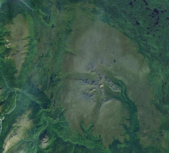
Landsat image of Level Mountain
Summary
[edit]
| Description |
English: Satellite image of Heart Peaks (upper-left corner) and Level Mountain (middle). |
| Date | |
| Source | NASA World Wind |
| Author | NASA |
| Permission (Reusing this file) |
NASA, public domain |
Licensing
[edit]
| This image is in the public domain because it is a screenshot from NASA’s globe software World Wind using a public domain layer, such as Blue Marble, MODIS, Landsat, SRTM, USGS or GLOBE.
|
 |
File history
Click on a date/time to view the file as it appeared at that time.
| Date/Time | Thumbnail | Dimensions | User | Comment | |
|---|---|---|---|---|---|
| current | 07:43, 19 August 2011 | | 544 × 493 (45 KB) | Black Tusk (talk | contribs) | better graphics |
| 07:46, 1 December 2008 |  | 334 × 292 (23 KB) | Black Tusk (talk | contribs) | {{Information |Description={{en|1=Satellite image of the Level Mountain Range (middle) and Heart Peaks (upper-left corner).}} |Source=NASA World Wind |Author=NASA |Date=December 1, 2008 |Permission=NASA, public domain |other_versions= }} <!--{{ImageU |
You cannot overwrite this file.
File usage on Commons
The following 2 pages use this file:
- File:Level Mountain Range and Heart Peaks.jpg (file redirect)
- Category:Level Mountain
File usage on other wikis
The following other wikis use this file:
- Usage on arz.wikipedia.org
- Usage on ceb.wikipedia.org
- Usage on en.wikipedia.org
- Heart Peaks
- Level Mountain
- List of Northern Cordilleran volcanoes
- Volcanic history of the Northern Cordilleran Volcanic Province
- Wikipedia:Today's featured article/September 2021
- Wikipedia:Today's featured article/September 1, 2021
- Wikipedia:Main Page history/2021 September 1
- Wikipedia:Main Page history/2021 September 1b
- Usage on fr.wikipedia.org
- Usage on sv.wikipedia.org
- Usage on www.wikidata.org