File:Haunzenbergersöll 1849 Gemeindekarte.JPG
Jump to navigation
Jump to search

Size of this preview: 800 × 520 pixels. Other resolutions: 320 × 208 pixels | 640 × 416 pixels | 1,024 × 666 pixels | 1,484 × 965 pixels.
Original file (1,484 × 965 pixels, file size: 791 KB, MIME type: image/jpeg)
Captions
Captions
Add a one-line explanation of what this file represents
Summary
[edit]
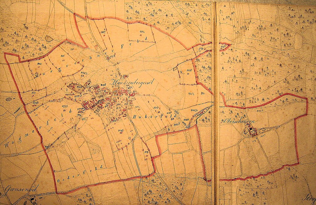
| Description | Haunzenbergersöll 1849 Gemeindekarte Kataster Gemeinde Bodenkirchen Felder Dorf Karte historisch Zeichnung Oberscheuern |
| Source | Own work |
| Author | Soeller |
Licensing
[edit]
| I, the copyright holder of this work, release this work into the public domain. This applies worldwide. In some countries this may not be legally possible; if so: I grant anyone the right to use this work for any purpose, without any conditions, unless such conditions are required by law. |
File history
Click on a date/time to view the file as it appeared at that time.
| Date/Time | Thumbnail | Dimensions | User | Comment | |
|---|---|---|---|---|---|
| current | 12:51, 19 December 2011 | | 1,484 × 965 (791 KB) | Rotatebot (talk | contribs) | Bot: Reset EXIF-specified Orientation of image (EXIF-Orientation set from 6 to 1, rotated 0°) |
| 13:16, 18 March 2008 |  | 965 × 1,484 (791 KB) | Soeller~commonswiki (talk | contribs) | {{Information |Description= Haunzenbergersöll 1849, Gemeindekarte |Source=eigene Arbeit |Date= |Author= Soeller |Permission= |other_versions= }} |
You cannot overwrite this file.
File usage on Commons
The following page uses this file:
File usage on other wikis
The following other wikis use this file:
- Usage on de.wikipedia.org