File:Hatteras, Outer Banks, North Carolina (14268258908).jpg

Original file (4,000 × 3,000 pixels, file size: 2.04 MB, MIME type: image/jpeg)
Captions
Captions
Summary
[edit].jpg&action=edit§ion=1)
| Description |
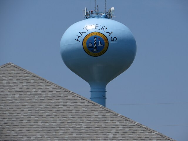
Hatteras is an unincorporated community in Dare County, North Carolina, United States, on the Outer Banks island of Hatteras. North Carolina Highway 12 passes through the community linking it to Frisco and Ocracoke (via a ferry in Hatteras). It is south of the famous Cape Hatteras and the Cape Hatteras Lighthouse in Buxton. The inlet that the ferries use is Hatteras Inlet. Hatteras is best known as a fishing and vacation destination. This community offers visitors ample opportunities for recreation, sightseeing, and remote relaxation especially on its beautiful beaches. Watersports are plentiful on both the ocean-side and the sound-side of the village. Proximity to the convergence of the Labrador Current and the Gulf Stream result in the largest surf available on the East Coast. On the protected Pamlico Sound side of the island watersports such as windsurfing, kayaking, kiteboarding, and swimming are all readily available and accessible. Fishing is a major source of recreation as well as revenue in Hatteras. In shore charters are available to fish in the Pamlico Sound. Deep sea charters are also available at Hatteras Harbor Marina and Oden's Dock. Deep sea trips take anglers to the warm waters of the Gulf Stream to fish for blue and white marlin, tuna, wahoo and mahi mahi. It takes approximately one and a half to two hours to reach the Gulf Stream from Hatteras Inlet. Pamlico Sound, which separates Hatteras and Ocracoke Islands, is one of the largest estuarine systems in the world and offers an almost limitless variety of fishing opportunities. Hatteras was named after the Hatteras Indians. Hatteras Village was cut off from the rest of the island on September 18, 2003, when Hurricane Isabel washed a 3000 feet (900 m) wide and 30 feet (9 m) deep channel called Isabel Inlet at the north end of Hatteras Village. The tear was subsequently repaired and restored by sand dredged by the Army Corps of Engineers. <a href="http://en.wikipedia.org/wiki/Hatteras,_North_Carolina" rel="nofollow">en.wikipedia.org/wiki/Hatteras,_North_Carolina</a> <a href="http://en.wikipedia.org/wiki/Wikipedia:Text_of_Creative_Commons_Attribution-ShareAlike_3.0_Unported_License" rel="nofollow">en.wikipedia.org/wiki/Wikipedia:Text_of_Creative_Commons_...</a> |
| Date | |
| Source | Hatteras, Outer Banks, North Carolina |
| Author | Ken Lund from Reno, Nevada, USA |
| Camera location | | View this and other nearby images on: OpenStreetMap |
|---|
.jpg¶ms=035.215438_N_-075.677053_E_globe:Earth_type:camera_source:Flickr_&language=en)
Licensing
[edit].jpg&action=edit§ion=2)
- You are free:
- to share – to copy, distribute and transmit the work
- to remix – to adapt the work
- Under the following conditions:
- attribution – You must give appropriate credit, provide a link to the license, and indicate if changes were made. You may do so in any reasonable manner, but not in any way that suggests the licensor endorses you or your use.
- share alike – If you remix, transform, or build upon the material, you must distribute your contributions under the same or compatible license as the original.
| This image was originally posted to Flickr by Ken Lund at https://flickr.com/photos/75683070@N00/14268258908 (archive). It was reviewed on 11 February 2020 by FlickreviewR 2 and was confirmed to be licensed under the terms of the cc-by-sa-2.0. |
File history
Click on a date/time to view the file as it appeared at that time.
| Date/Time | Thumbnail | Dimensions | User | Comment | |
|---|---|---|---|---|---|
| current | 02:27, 11 February 2020 | | 4,000 × 3,000 (2.04 MB) | Ser Amantio di Nicolao (talk | contribs) | Transferred from Flickr via #flickr2commons |
You cannot overwrite this file.
File usage on Commons
There are no pages that use this file.
.jpg&oldid=887456127)