File:Harta de localizare Bulgaria Vidin.jpg
Jump to navigation
Jump to search

Size of this preview: 800 × 526 pixels. Other resolutions: 320 × 210 pixels | 640 × 421 pixels | 1,024 × 673 pixels | 1,280 × 841 pixels | 1,993 × 1,310 pixels.
Original file (1,993 × 1,310 pixels, file size: 432 KB, MIME type: image/jpeg)
Captions
Captions
Add a one-line explanation of what this file represents
Summary
[edit]| Description |
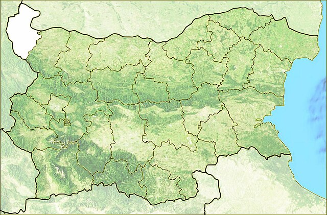
Română: Harta de localizare Bulgaria Vidin. Coordonate: 44.249N 22.25E / 44.1N 28.749E |
| Date | |
| Source |
|
| Author | Asybaris01 |
| Other versions |
|


Licensing
[edit]
| This file is in the public domain in the United States because it was solely created by NASA. NASA copyright policy states that "NASA material is not protected by copyright unless noted". (See Template:PD-USGov, NASA copyright policy page or JPL Image Use Policy.) | ||
 |
Warnings:
|
File history
Click on a date/time to view the file as it appeared at that time.
| Date/Time | Thumbnail | Dimensions | User | Comment | |
|---|---|---|---|---|---|
| current | 17:05, 30 March 2012 | | 1,993 × 1,310 (432 KB) | Asybaris01 (talk | contribs) | {{Information |Description ={{ro|1=Harta de localizare Bulgaria Vidin}} |Source =Date SRTM furnizate liber de NASA, OpenStreetMaps, 3DEM, Inkscape |Author =Asybaris01 |Date =mar 2012 |Permission = |o... |
You cannot overwrite this file.
File usage on Commons
The following 4 pages use this file:
File usage on other wikis
The following other wikis use this file:
- Usage on ro.wikipedia.org