File:Harra Covered Bridge.JPG
Jump to navigation
Jump to search

Size of this preview: 800 × 578 pixels. Other resolutions: 320 × 231 pixels | 640 × 463 pixels | 1,024 × 740 pixels | 1,280 × 926 pixels | 1,488 × 1,076 pixels.
Original file (1,488 × 1,076 pixels, file size: 402 KB, MIME type: image/jpeg)
Captions
Captions
Add a one-line explanation of what this file represents
|
This is an image of a place or building that is listed on the National Register of Historic Places in the United States of America. Its reference number is 76001547. |
Summary
[edit]
| Description |
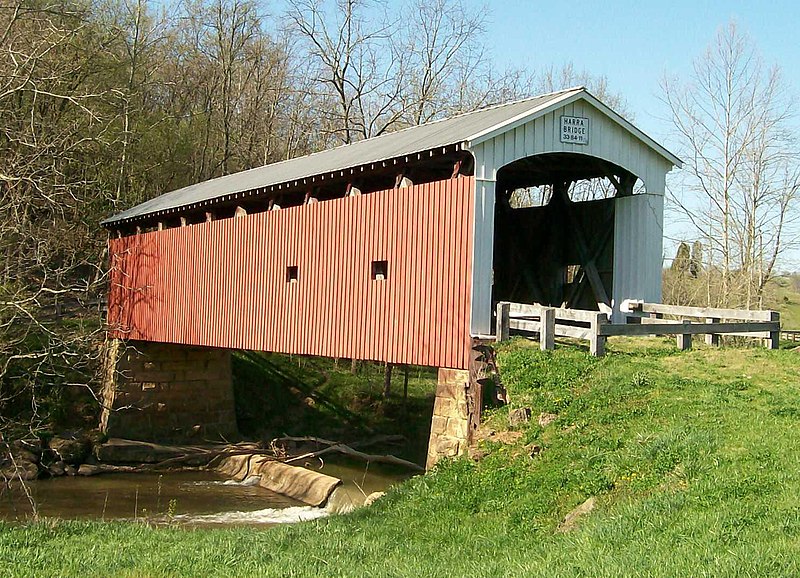
English: The Harra Covered Bridge just off of Camp Hervida Road northwest of Watertown, Ohio in Washington County. The bridge is photographed looking northeast from Camp Hervida Road. On the NRHP for Washington County, Ohio. Taken 04-10-2010. |
| Date | (UTC) |
| Source |
I (Bwsmith84 (talk)) created this work entirely by myself. Transferred from en.wikipedia |
| Author | Bwsmith84 (talk) |
| Openstreetmap entry | Link to Openstreetmap |
| Object location | | View this and other nearby images on: OpenStreetMap |
|---|
Licensing
[edit]
Bwsmith84 at en.wikipedia, the copyright holder of this work, hereby publishes it under the following license:
This file is licensed under the Creative Commons Attribution 3.0 Unported license.
Attribution: Bwsmith84 at en.wikipedia
- You are free:
- to share – to copy, distribute and transmit the work
- to remix – to adapt the work
- Under the following conditions:
- attribution – You must give appropriate credit, provide a link to the license, and indicate if changes were made. You may do so in any reasonable manner, but not in any way that suggests the licensor endorses you or your use.
Original upload log
[edit]
The original description page was here. All following user names refer to en.wikipedia.
- 2010-04-11 04:49 Bwsmith84 1488×1076 (411582 bytes) {{Information |Description = The Harra Covered Bridge just off of Camp Hervida Road northwest of Watertown, Ohio in Washington County. The bridge is photographed looking northeast from Camp Hervida Road. On the NRHP for Washington County, Ohio. Taken
File history
Click on a date/time to view the file as it appeared at that time.
| Date/Time | Thumbnail | Dimensions | User | Comment | |
|---|---|---|---|---|---|
| current | 02:59, 9 January 2012 | | 1,488 × 1,076 (402 KB) | BotMultichillT (talk | contribs) | {{BotMoveToCommons|en.wikipedia|year={{subst:CURRENTYEAR}}|month={{subst:CURRENTMONTHNAME}}|day={{subst:CURRENTDAY}}}} == {{int:filedesc}} == {{Information |description={{en|1=The Harra Covered Bridge just off of Camp Hervida Road northwest of Watertown, |
You cannot overwrite this file.
File usage on Commons
The following 3 pages use this file:
File usage on other wikis
The following other wikis use this file:
- Usage on en.wikipedia.org
- Usage on es.wikipedia.org
- Usage on eu.wikipedia.org
- Usage on fa.wikipedia.org
- Usage on pt.wikipedia.org
- Usage on ur.wikipedia.org
- Usage on vi.wikipedia.org
- Usage on www.wikidata.org
- Usage on zh.wikipedia.org