File:Hank St Heatherbrae 01 20131020.jpg
Jump to navigation
Jump to search
Size of this preview: 800 × 450 pixels. Other resolutions: 320 × 180 pixels | 640 × 360 pixels | 1,024 × 575 pixels | 1,280 × 719 pixels | 2,560 × 1,439 pixels | 4,000 × 2,248 pixels.
Original file (4,000 × 2,248 pixels, file size: 4.06 MB, MIME type: image/jpeg)
Captions
Captions
Add a one-line explanation of what this file represents
Summary
[edit]
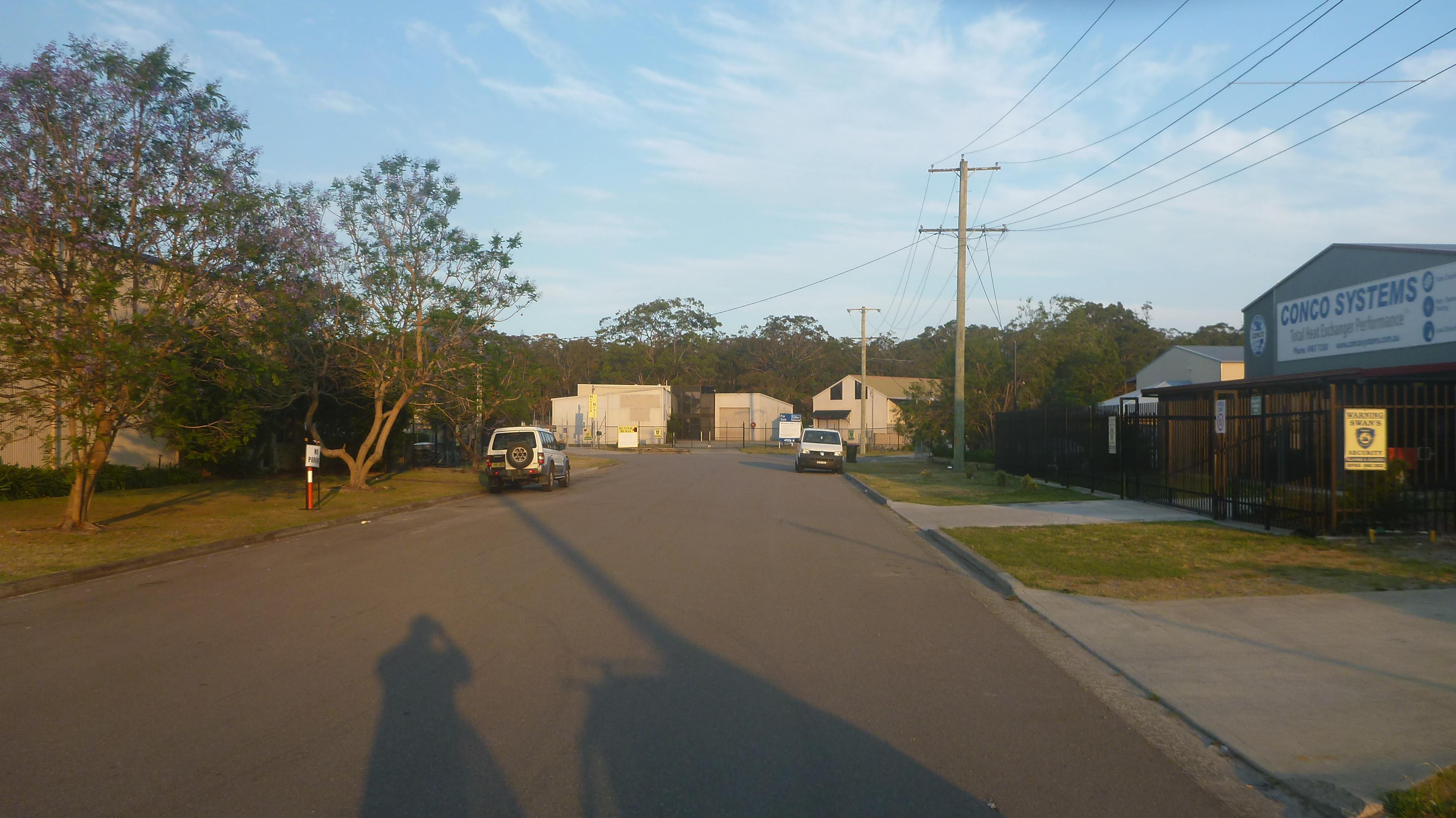
| Description | Eastern end of Hank Street, Heatherbrae New South Wales, Australia, near where a major fire started during the 2013 New South Wales bushfires. |
| Date | |
| Source | Own work |
| Author | AussieLegend |
| Other versions |
 |
| Camera location | | View this and other nearby images on: OpenStreetMap |
|---|
Licensing
[edit]
| I, the copyright holder of this work, release this work into the public domain. This applies worldwide. In some countries this may not be legally possible; if so: I grant anyone the right to use this work for any purpose, without any conditions, unless such conditions are required by law. |
File history
Click on a date/time to view the file as it appeared at that time.
| Date/Time | Thumbnail | Dimensions | User | Comment | |
|---|---|---|---|---|---|
| current | 14:07, 21 October 2013 | | 4,000 × 2,248 (4.06 MB) | AussieLegend (talk | contribs) | == {{int:filedesc}} == {{Information |description = Eastern end of Hank Street, Heatherbrae New South Wales, Australia, near where a major fire started during the [[:en:2... |
You cannot overwrite this file.
File usage on Commons
The following page uses this file: