File:HS2 construction near Leamington Spa, aerial 2021 (3), geograph 6947416 by Chris.jpg
Jump to navigation
Jump to search
Size of this preview: 399 × 599 pixels. Other resolutions: 160 × 240 pixels | 533 × 800 pixels.
Original file (533 × 800 pixels, file size: 107 KB, MIME type: image/jpeg)
Captions
Captions
Add a one-line explanation of what this file represents
Summary
[edit]| Description |
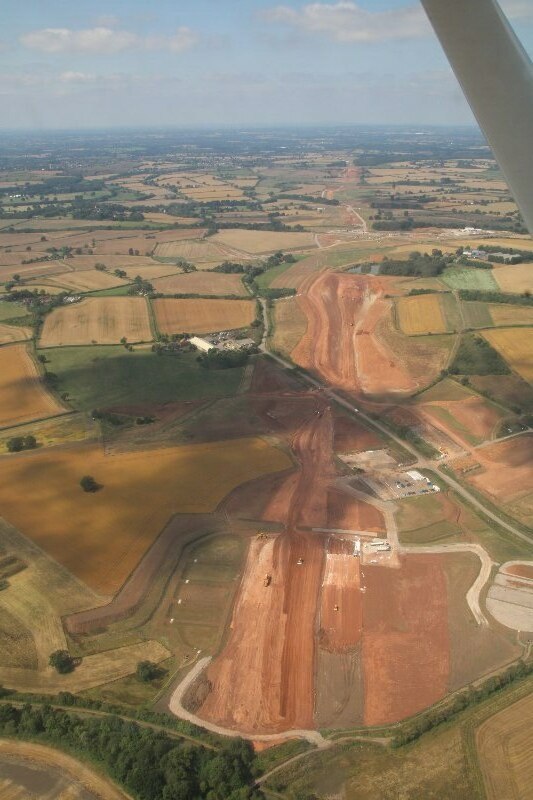
English: HS2 construction near Leamington Spa: aerial 2021 (3) |
||
| Date | |||
| Source | geograph.org.uk | ||
| Author | Chris | ||
| Permission (Reusing this file) |
This file is licensed under the Creative Commons Attribution-Share Alike 2.0 Generic license. Attribution: Chris
|
||
| Attribution (required by the license) | Chris / HS2 construction near Leamington Spa, aerial 2021 (3) / | ||

,_geograph_6947416_by_Chris.jpg&action=edit§ion=1)
| Camera location | | View this and other nearby images on: OpenStreetMap |
|---|
,_geograph_6947416_by_Chris.jpg¶ms=052.273482_N_-001.433620_E_globe:Earth_type:camera_source:geograph-osgb36(SP3874264076)_region:GB-ENG_heading:270.00&language=en)
| Object location | | View this and other nearby images on: OpenStreetMap |
|---|
,_geograph_6947416_by_Chris.jpg¶ms=052.274610_N_-001.445700_E_globe:Earth_class:object_type:object_source:geograph-osgb36(SP37916419)_region:GB-ENG_heading:270.00&language=en)
File history
Click on a date/time to view the file as it appeared at that time.
| Date/Time | Thumbnail | Dimensions | User | Comment | |
|---|---|---|---|---|---|
| current | 21:41, 8 December 2021 | | 533 × 800 (107 KB) | G-13114 (talk | contribs) | {{Information |description={{en|1=HS2 construction near Leamington Spa: aerial 2021 (3)}} |date=2021-08-23 |source= [https://www.geograph.org.uk geograph.org.uk] |author= Chris |permission= {{Geograph|6947416|Chris}} |other_versions= |other fields= {{Credit line |Author = Chris |Other = ''HS2 construction near Leamington Spa, aerial 2021 (3)'' |License = CC-BY-SA-2.0 }}}} Category:High Speed 2 construction Category:August 2021 in Warwickshire [[Category:2021 in rail transpo... |
You cannot overwrite this file.
File usage on Commons
The following page uses this file:
File usage on other wikis
The following other wikis use this file:
- Usage on en.wikipedia.org
- Usage on lt.wikipedia.org
,_geograph_6947416_by_Chris.jpg&oldid=685741913)