File:H1N1 Australia Type Map.svg
Jump to navigation
Jump to search

Size of this PNG preview of this SVG file: 290 × 262 pixels. Other resolutions: 266 × 240 pixels | 531 × 480 pixels | 850 × 768 pixels | 1,133 × 1,024 pixels | 2,267 × 2,048 pixels.
Original file (SVG file, nominally 290 × 262 pixels, file size: 36 KB)
Captions
Captions
Add a one-line explanation of what this file represents
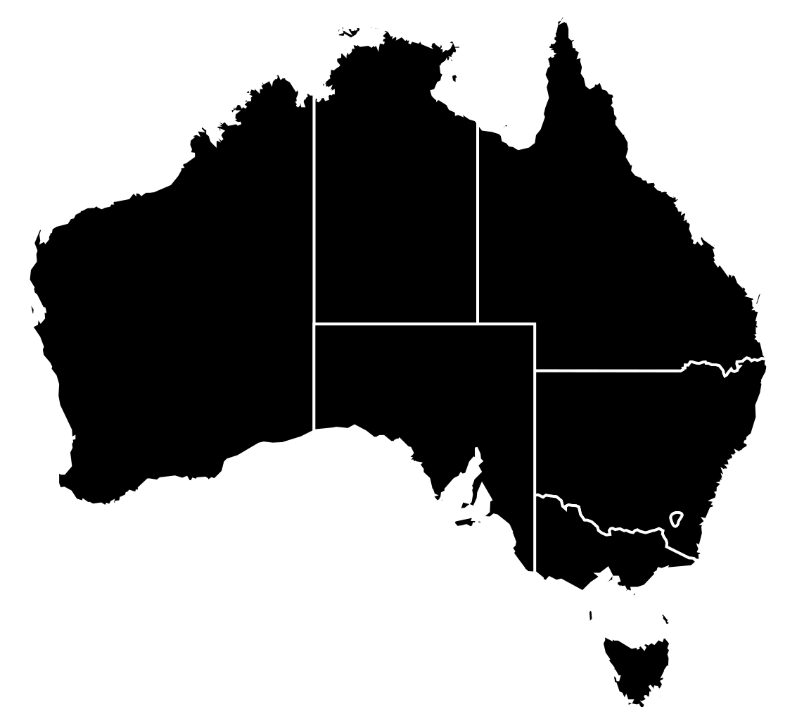
Legend:
English:
Confirmed cases followed by death
Confirmed cases
Unconfirmed or suspected cases
No reported cases
Español:
Muertes
Casos confirmados
Casos sospechosos
Sin sospechas
Français :
Morts
Cas confirmés
Cas suspects
Aucun cas
Português:
Mortes
Casos confirmados
Casos suspeitos
Sem suspeitas
Summary
[edit]
| Description |
English: this illustrates cases by type, and uses the same color coding as the other cases by type maps, unlike the current Australia map, which is a hybrid between type and number of confirmed cases. |
| Date | |
| Source | 70.29.208.129 altered derivative of File:H1N1 Australia Map.svg |
| Author | 70.29.208.129 |
as of 25th, earlier dates are mapped on File:H1N1 Australia Map.svg in this format
Licensing
[edit]
I, the copyright holder of this work, hereby publish it under the following licenses:

|
Permission is granted to copy, distribute and/or modify this document under the terms of the GNU Free Documentation License, Version 1.2 or any later version published by the Free Software Foundation; with no Invariant Sections, no Front-Cover Texts, and no Back-Cover Texts. A copy of the license is included in the section entitled GNU Free Documentation License. |
This file is licensed under the Creative Commons Attribution-Share Alike Attribution-Share Alike 4.0 International, 3.0 Unported, 2.5 Generic, 2.0 Generic and 1.0 Generic license.
- You are free:
- to share – to copy, distribute and transmit the work
- to remix – to adapt the work
- Under the following conditions:
- attribution – You must give appropriate credit, provide a link to the license, and indicate if changes were made. You may do so in any reasonable manner, but not in any way that suggests the licensor endorses you or your use.
- share alike – If you remix, transform, or build upon the material, you must distribute your contributions under the same or compatible license as the original.
You may select the license of your choice.
File history
Click on a date/time to view the file as it appeared at that time.
| Date/Time | Thumbnail | Dimensions | User | Comment | |
|---|---|---|---|---|---|
| current | 22:45, 31 July 2009 | | 290 × 262 (36 KB) | Graeme Bartlett (talk | contribs) | ACT now has death, all Australia is now black on this map |
| 22:41, 15 July 2009 |  | 290 × 262 (36 KB) | Graeme Bartlett (talk | contribs) | qld death and nsw up to 5 | |
| 04:55, 7 July 2009 |  | 290 × 262 (36 KB) | Graeme Bartlett (talk | contribs) | Tas has a death | |
| 02:14, 7 July 2009 |  | 290 × 262 (36 KB) | Graeme Bartlett (talk | contribs) | NT and NSW have deaths | |
| 06:01, 6 July 2009 |  | 290 × 262 (36 KB) | Graeme Bartlett (talk | contribs) | created by 70.29.208.69 - derived from File:H1N1 Australia Type Map.svg 2009 Swine Influenza A/H1N1 Mexican Flu confirmed cases outbreak map for Australia from WP:IFU at Wikipedia talk:Images for upload/svg/H1N1 Australia Type Map.svg | |
| 07:18, 27 June 2009 |  | 290 × 262 (36 KB) | Kramark (talk | contribs) | {{Information |Description={{en|1=this illustrates cases by type, and uses the same color coding as the other cases by type maps, unlike the current Australia map, which is a hybrid between type and number of confirmed cases.}} |Source=*[[:File:H1N1_Austr | |
| 14:31, 23 June 2009 |  | 290 × 262 (36 KB) | MSGJ (talk | contribs) | update | |
| 22:53, 19 June 2009 |  | 290 × 262 (36 KB) | Graeme Bartlett (talk | contribs) | A 26 yo man from Western Australia died in South Australia | |
| 22:51, 30 May 2009 |  | 290 × 262 (36 KB) | Graeme Bartlett (talk | contribs) | Northern Territory now has a case | |
| 00:32, 30 May 2009 |  | 290 × 262 (36 KB) | Graeme Bartlett (talk | contribs) | {{Information |Description={{en|1=this illustrates cases by type, and uses the same color coding as the other cases by type maps, unlike the current Australia map, which is a hybrid between type and number of confirmed cases.}} |Source=*[[:File:H1N1_Austr |
You cannot overwrite this file.
File usage on Commons
The following 2 pages use this file:
File usage on other wikis
The following other wikis use this file:
- Usage on en.wikipedia.org
- 2009 swine flu pandemic in Australia
- File talk:H1N1 Australia Map.svg
- Talk:2009 swine flu pandemic in Australia
- Talk:2009 swine flu pandemic by country/Archive 1
- File talk:H1N1 Australia Type Map.svg
- File talk:H1N1 Australia Confirmed Map.svg
- 2009 swine flu pandemic in Oceania
- File talk:H1N1 Australia Death Map.svg
- Usage on es.wikipedia.org
- Usage on fr.wikipedia.org
- Usage on pt.wikipedia.org