File:Gynge hög - KMB - 16001000540743.jpg
Gynge_hög_-_KMB_-_16001000540743.jpg (800 × 572 pixels, file size: 258 KB, MIME type: image/jpeg)
Captions
Captions
| Gynge hög
( |
|||||||||||||||||||||||||||
|---|---|---|---|---|---|---|---|---|---|---|---|---|---|---|---|---|---|---|---|---|---|---|---|---|---|---|---|
| Photographer |
|
||||||||||||||||||||||||||
| Title |
Gynge hög |
||||||||||||||||||||||||||
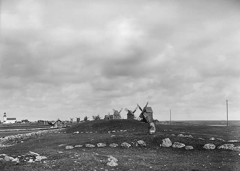
| Original caption |
Notera Av dokumentationsskäl har originalbeskrivningen från Riksantikvarieämbetet behållits. Tillrättalägganden och alternativa beskrivningar bör införas separat från nedanstående information. RAÄ-nummer Resmo 40:1. Foto från omkring 1908, med väderkvarnar i bakgrunden. Till vänster i bilden Resmo kyrka.Felaktigheter kan även anmälas till denna sida. Motiv: Resmo 40:1 |
||||||||||||||||||||||||||
| Description |
RAÄ-nummer Resmo 40:1. Foto från omkring 1908, med väderkvarnar i bakgrunden. Till vänster i bilden Resmo kyrka. Resmo 40:1.
|
||||||||||||||||||||||||||
| Depicted place | Sweden, Mörbylånga Municipality, Resmo socken | ||||||||||||||||||||||||||
| Date | Unknown date | ||||||||||||||||||||||||||
| Collection |
|
||||||||||||||||||||||||||
| Accession number | |||||||||||||||||||||||||||
| Source |
Ture J. Arne / Kulturmiljöbild, Riksantikvarieämbetet
|
||||||||||||||||||||||||||
| Permission (Reusing this file) |
|
||||||||||||||||||||||||||
| Other versions |
|
||||||||||||||||||||||||||


.jpg)
| Object location | | View this and other nearby images on: OpenStreetMap |
|---|
File history
Click on a date/time to view the file as it appeared at that time.
| Date/Time | Thumbnail | Dimensions | User | Comment | |
|---|---|---|---|---|---|
| current | 17:42, 9 June 2017 | | 800 × 572 (258 KB) | AndreCostaWMSE-bot (talk | contribs) | {{Kulturmiljöbild-image | short title = Gynge hög | original description = RAÄ-nummer Resmo 40:1. Foto från omkring 1908, med väderkvarnar i bakgrunden. Till vänster i bilden Resmo kyrka.<br> Motiv: Resmo 40:1<br> Nyckelord: Riksintressen, Värld... |
You cannot overwrite this file.
File usage on Commons
The following 2 pages use this file: