File:Gunung Abongabong - TopoMap.png
Jump to navigation
Jump to search
Size of this preview: 600 × 600 pixels. Other resolutions: 240 × 240 pixels | 480 × 480 pixels | 768 × 768 pixels | 1,024 × 1,024 pixels | 2,048 × 2,048 pixels | 2,560 × 2,560 pixels.
Original file (2,560 × 2,560 pixels, file size: 2.12 MB, MIME type: image/png)
Captions
Captions
Add a one-line explanation of what this file represents
Summary
[edit]
| Description |
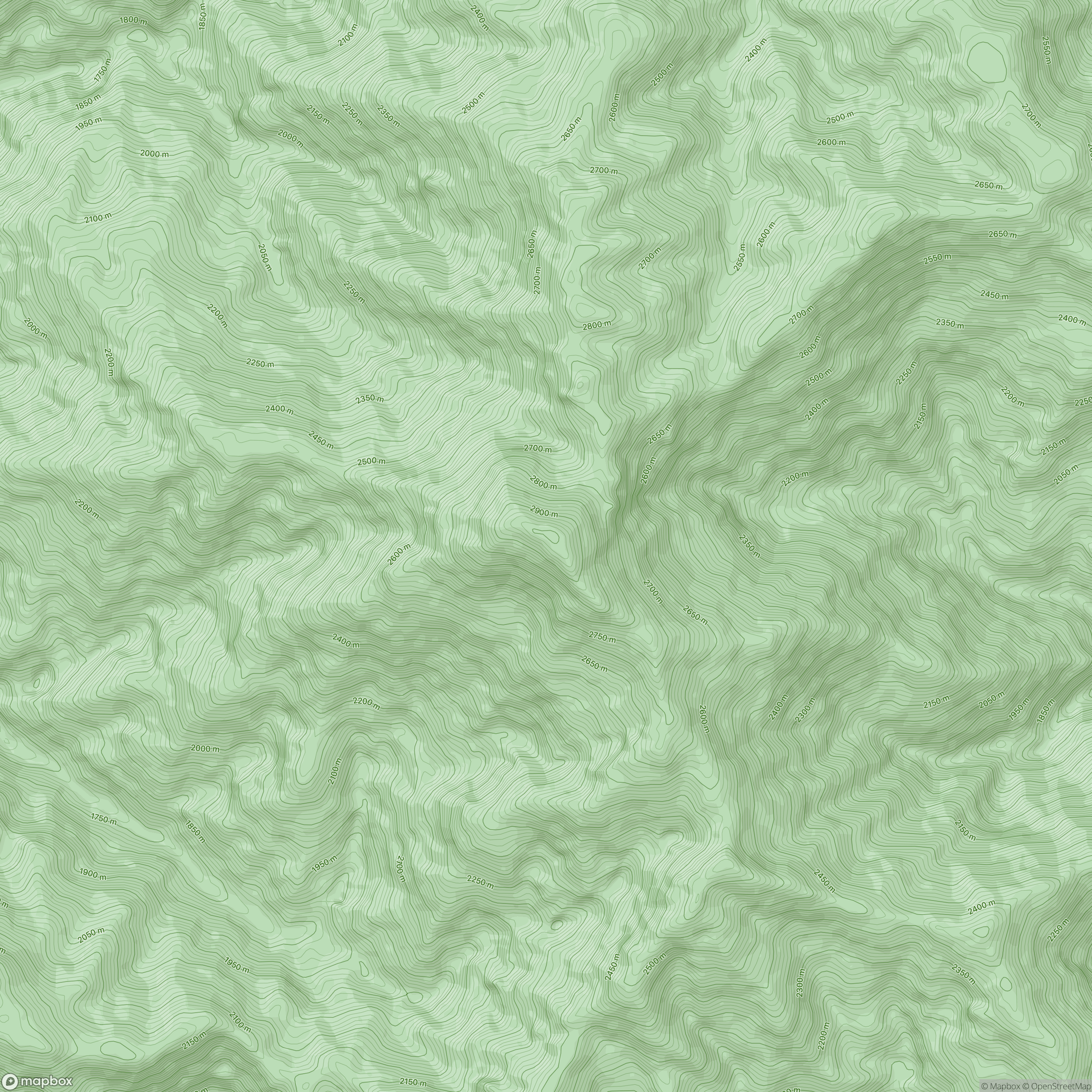
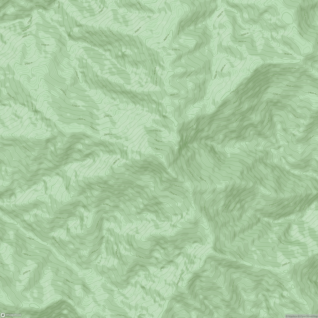
Bahasa Indonesia: Gunung Abongabong adalah sebuah gunung yang terletak di Kabupaten Gayo Lues, Provinsi Nanggroe Aceh Darussalam, Indonesia, yang memiliki ketinggian 2.985 meter (9.793 ft) dan di Puncak Gunung terdapat Pilar Triangulasi peninggalan Belanda dengan nomor seri P.127.
Gunung Abongabong merupakan bagian dari daerah aliran sungai Tripa dimana aliran utamanya mengalir menuju pesisir barat pulau Sumatera di wilayah perairan samudera Hindia. |
| Date | |
| Source | https://mapcarta.com/14776956 |
| Author | © OpenStreetMap, Mapbox, Maxar and Mapcarta |
| Camera location | | View this and other nearby images on: OpenStreetMap |
|---|
Licensing
[edit]
| This work contains information from OpenStreetMap, which is made available under the Open Database License (ODbL).
The ODbL does not require any particular license for maps produced from ODbL data. Prior to 1 August 2020, map tiles produced by the OpenStreetMap Foundation were licensed under the CC-BY-SA-2.0 license. Maps produced by other people may be subject to other licences. |
File history
Click on a date/time to view the file as it appeared at that time.
| Date/Time | Thumbnail | Dimensions | User | Comment | |
|---|---|---|---|---|---|
| current | 08:33, 27 August 2023 | | 2,560 × 2,560 (2.12 MB) | Dasnusantara (talk | contribs) | Uploaded a work by © OpenStreetMap, Mapbox, Maxar and Mapcarta from https://mapcarta.com/14776956 with UploadWizard |
You cannot overwrite this file.
File usage on Commons
There are no pages that use this file.
File usage on other wikis
The following other wikis use this file:
- Usage on id.wikipedia.org