File:Gunpowder Magazine (39071436620).jpg

Original file (3,060 × 3,825 pixels, file size: 6.04 MB, MIME type: image/jpeg)
Captions
Captions
Summary
[edit].jpg&action=edit§ion=1)
| Description |
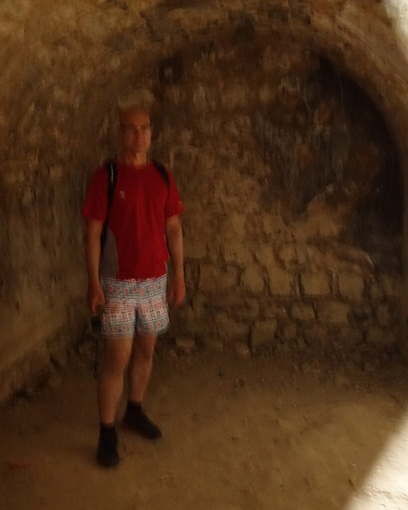
My friend claims that his camera takes exceptional photos in low light. The powder magazine was so dark I had to wait a moment for my eyes to adjust so I would not hit any walls. I suggested he use a flash. He did not and this was the result. I like to think of it as a photograph with artistic qualities. The powder magazine is a cool underground chamber where gunpowder was kept and is part of Fort Rodney. Fort Rodney was built in 1778 with an armament of three 24-pounders and two eleven and a half-inch mortars. The cannons sat on timbers on the cobblestone platform, and the platform also served as a water catchment as you can see by the little drain around the walls that runs into the well. Water was used on the gun platform to swab the hot cannons and to remove gunpowder that did not ignite. For drinking, the water was filtered through a three-gallon limestone filter. Pigeon Island, only some 40 kilometers (25 miles) south of the French base at Fort Royal, Martinique, had long been recognized by the British Admiral Rodney as an important observation and defensive site. In 1780 he wrote “… this is the post the Governor of Martinique had set his eye on and if possessed by the enemy would deprive us of the best anchorage place in these islands and from which Martinique is always attackable…” *
Photo credit: RB SLU_6536_cr |
| Date | |
| Source | Gunpowder Magazine |
| Author | Chris Hunkeler from Carlsbad, California, USA |
| Camera location | | View this and other nearby images on: OpenStreetMap |
|---|
.jpg¶ms=014.091066_N_-060.966939_E_globe:Earth_type:camera_source:Flickr_&language=en)
Licensing
[edit].jpg&action=edit§ion=2)
- You are free:
- to share – to copy, distribute and transmit the work
- to remix – to adapt the work
- Under the following conditions:
- attribution – You must give appropriate credit, provide a link to the license, and indicate if changes were made. You may do so in any reasonable manner, but not in any way that suggests the licensor endorses you or your use.
- share alike – If you remix, transform, or build upon the material, you must distribute your contributions under the same or compatible license as the original.
| This image was originally posted to Flickr by Chris Hunkeler at https://flickr.com/photos/14913305@N00/39071436620. It was reviewed on 15 June 2020 by FlickreviewR 2 and was confirmed to be licensed under the terms of the cc-by-sa-2.0. |
File history
Click on a date/time to view the file as it appeared at that time.
| Date/Time | Thumbnail | Dimensions | User | Comment | |
|---|---|---|---|---|---|
| current | 23:35, 15 June 2020 | | 3,060 × 3,825 (6.04 MB) | Geo Swan (talk | contribs) | Transferred from Flickr via #flickr2commons |
You cannot overwrite this file.
File usage on Commons
There are no pages that use this file.
.jpg&oldid=835483110)