File:Gunnarstorp Gravfelt (2022).jpg
Jump to navigation
Jump to search
No higher resolution available.
Gunnarstorp_Gravfelt_(2022).jpg (800 × 533 pixels, file size: 214 KB, MIME type: image/jpeg)
Captions
Captions
Add a one-line explanation of what this file represents
Summary
[edit].jpg&action=edit§ion=1)
| Description |
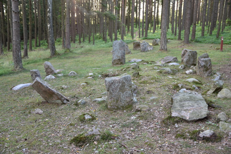
Deutsch: Steinkreis bei Gunnarstorp (Norwegen) |
| Date | |
| Source | Self-photographed |
| Author | Uwe Albrecht |
| Permission (Reusing this file) |
|
| OpenStreetMap | Node 1386062581 |
| Object location | | View this and other nearby images on: OpenStreetMap |
|---|
.jpg¶ms=059.210730_N_0011.127340_E_globe:Earth_class:object_type:object_source:OSM_&language=en)
| Camera location | | View this and other nearby images on: OpenStreetMap |
|---|
.jpg¶ms=059.210730_N_0011.127340_E_globe:Earth_type:camera__&language=en)
Licensing
[edit].jpg&action=edit§ion=2)
This file is licensed under the Creative Commons Attribution-Share Alike 4.0 International license.
- You are free:
- to share – to copy, distribute and transmit the work
- to remix – to adapt the work
- Under the following conditions:
- attribution – You must give appropriate credit, provide a link to the license, and indicate if changes were made. You may do so in any reasonable manner, but not in any way that suggests the licensor endorses you or your use.
- share alike – If you remix, transform, or build upon the material, you must distribute your contributions under the same or compatible license as the original.
File history
Click on a date/time to view the file as it appeared at that time.
| Date/Time | Thumbnail | Dimensions | User | Comment | |
|---|---|---|---|---|---|
| current | 08:31, 26 December 2022 | | 800 × 533 (214 KB) | Lutzto (talk | contribs) | Uploaded a work by Uwe Albrecht from {{own photograph}} with UploadWizard |
You cannot overwrite this file.
File usage on Commons
The following page uses this file:
.jpg&oldid=906016153)