File:Guadeloupe - M-1946-Iles-les-Saintes.jpg
Jump to navigation
Jump to search

Size of this preview: 750 × 600 pixels. Other resolutions: 300 × 240 pixels | 600 × 480 pixels | 960 × 768 pixels | 1,280 × 1,024 pixels | 2,560 × 2,048 pixels | 16,667 × 13,333 pixels.
Original file (16,667 × 13,333 pixels, file size: 66.15 MB, MIME type: image/jpeg)
Captions
Captions
Add a one-line explanation of what this file represents
Summary
[edit]
| Warning | The original file is very high-resolution. It might not load properly or could cause your browser to freeze when opened at full size. |
|---|
| Description |
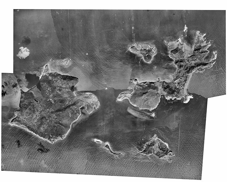
Français : Photo aérienne du littoral français |
| Date | |
| Source | https://sextant.ifremer.fr/photos-anciennes-littoral/ |
| Author | SHOM, Ifremer, Photothèque nationale |
| Object location | | View this and other nearby images on: OpenStreetMap |
|---|
Licensing
[edit]
| This file is licensed under the Licence Ouverte 1.0 (License text, English license text).
|
File history
Click on a date/time to view the file as it appeared at that time.
| Date/Time | Thumbnail | Dimensions | User | Comment | |
|---|---|---|---|---|---|
| current | 11:54, 27 October 2020 | | 16,667 × 13,333 (66.15 MB) | Pyb (talk | contribs) | Uploaded a work by SHOM, Ifremer, Photothèque nationale from https://sextant.ifremer.fr/photos-anciennes-littoral/ with UploadWizard |
You cannot overwrite this file.
File usage on Commons
There are no pages that use this file.