File:Grossosthm LB01241.jpg
Original file (6,102 × 4,068 pixels, file size: 26.96 MB, MIME type: image/jpeg)
Captions
Summary
[edit]DescriptionGrossosthm LB01241.jpg |
Deutsch: Großostheim, geschützter Landschaftsbestandteil LB-01241, 671L0028 „Alte Bahnlinie, OT Pflaumheim, Wenigumstadt“ im Naturpark „Bayerischer Odenwald“
English: 
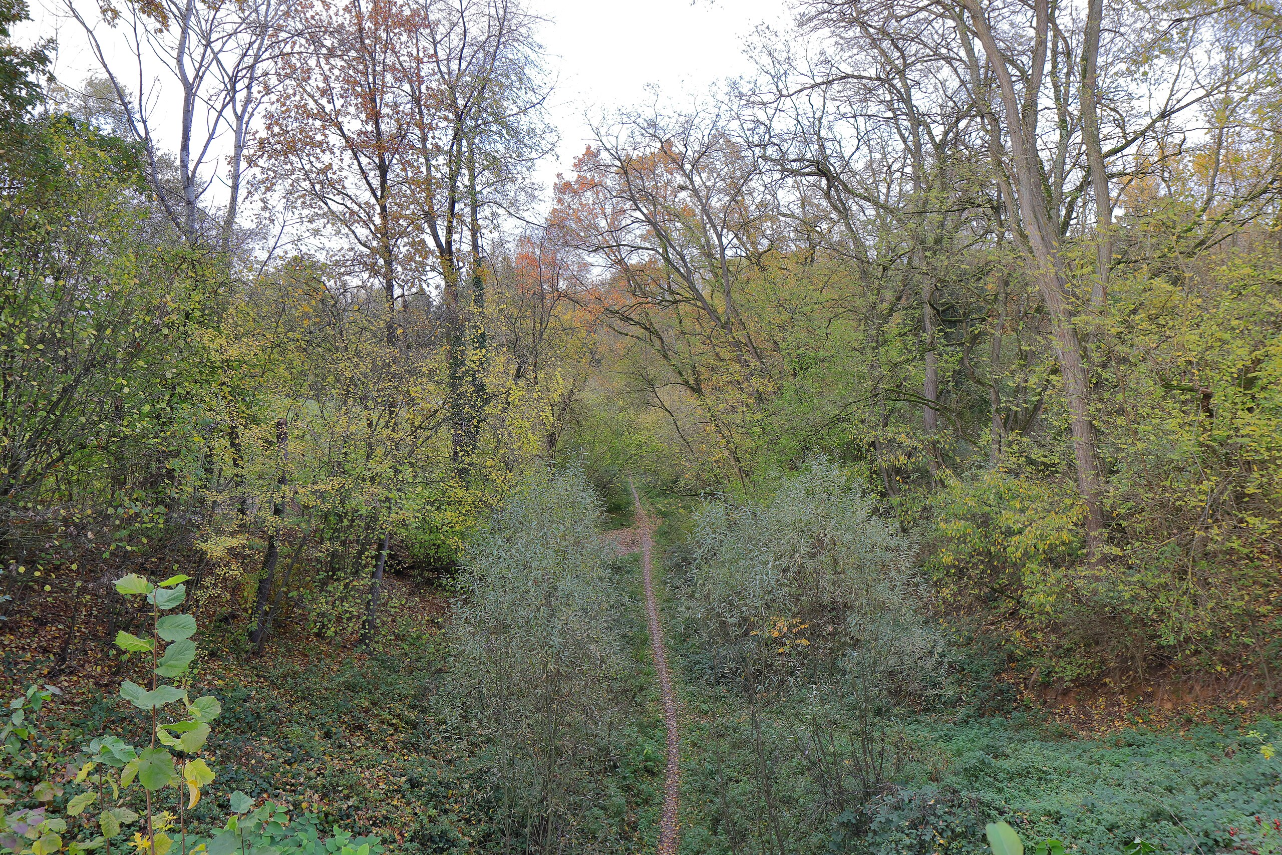
Grossostheim, protected landscape element LB-01241, 671L0028 'Alte Bahnlinie, OT Pflaumheim, Wenigumstadt' in nature park 'Bayerischer Odenwald' |
Date | |
Source | Own work |
Author | KaiBorgeest |
Camera location | 49° 53′ 10.67″ N, 9° 03′ 58.09″ E | View this and other nearby images on: OpenStreetMap | 49.886297; 9.066137 |
---|
Licensing
[edit]- You are free:
- to share – to copy, distribute and transmit the work
- to remix – to adapt the work
- Under the following conditions:
- attribution – You must give appropriate credit, provide a link to the license, and indicate if changes were made. You may do so in any reasonable manner, but not in any way that suggests the licensor endorses you or your use.
This image was uploaded as part of Wiki Loves Earth 2024.
aragonés ∙ asturianu ∙ azərbaycanca ∙ Bahasa Indonesia ∙ Bahasa Melayu ∙ brezhoneg ∙ català ∙ čeština ∙ Cymraeg ∙ dagbanli ∙ Deutsch ∙ eesti ∙ English ∙ español ∙ euskara ∙ français ∙ galego ∙ hrvatski ∙ italiano ∙ latviešu ∙ Nederlands ∙ norsk ∙ norsk bokmål ∙ português ∙ polski ∙ português do Brasil ∙ qaraqalpaqsha ∙ română ∙ shqip ∙ sicilianu ∙ slovenščina ∙ svenska ∙ Tagalog ∙ Türkçe ∙ Ελληνικά ∙ беларуская (тарашкевіца) ∙ български ∙ кыргызча ∙ македонски ∙ русский ∙ српски / srpski ∙ українська ∙ ქართული ∙ հայերեն ∙ नेपाली ∙ मराठी ∙ বাংলা ∙ മലയാളം ∙ ไทย ∙ 한국어 ∙ 日本語 ∙ 中文 ∙ 中文(台灣) ∙ 中文(简体) ∙ 中文(繁體) ∙ עברית ∙ اردو ∙ العربية ∙ فارسی ∙ +/− |
File history
Click on a date/time to view the file as it appeared at that time.
Date/Time | Thumbnail | Dimensions | User | Comment | |
---|---|---|---|---|---|
current | 21:52, 20 June 2024 | 6,102 × 4,068 (26.96 MB) | KaiBorgeest (talk | contribs) | Uploaded own work with UploadWizard |
You cannot overwrite this file.
File usage on Commons
There are no pages that use this file.
File usage on other wikis
The following other wikis use this file:
- Usage on de.wikipedia.org
Metadata
This file contains additional information such as Exif metadata which may have been added by the digital camera, scanner, or software program used to create or digitize it. If the file has been modified from its original state, some details such as the timestamp may not fully reflect those of the original file. The timestamp is only as accurate as the clock in the camera, and it may be completely wrong.
Camera manufacturer | Canon |
---|---|
Camera model | Canon EOS 77D |
Author | K. Borgeest |
Copyright holder | K. Borgeest |
Exposure time | 1/40 sec (0.025) |
F-number | f/5.6 |
ISO speed rating | 200 |
Date and time of data generation | 15:14, 11 November 2023 |
Lens focal length | 17 mm |
Latitude | 49° 53′ 10.67″ N |
Longitude | 9° 3′ 58.09″ E |
Altitude | 213.8 meters above sea level |
Orientation | Normal |
Horizontal resolution | 350 dpi |
Vertical resolution | 350 dpi |
Software used | Digital Photo Professional |
File change date and time | 16:14, 11 November 2023 |
Y and C positioning | Centered |
Exposure Program | Aperture priority |
Exif version | 2.3 |
Date and time of digitizing | 15:14, 11 November 2023 |
Meaning of each component |
|
APEX shutter speed | 5.375 |
APEX aperture | 5 |
APEX exposure bias | 0 |
Metering mode | Center weighted average |
Flash | Flash did not fire |
DateTime subseconds | 41 |
DateTimeOriginal subseconds | 41 |
DateTimeDigitized subseconds | 41 |
Supported Flashpix version | 1 |
Color space | sRGB |
Custom image processing | Normal process |
Exposure mode | Auto exposure |
White balance | Manual white balance |
Scene capture type | Standard |
GPS time (atomic clock) | 14:14 |
Satellites used for measurement | 12 |
Receiver status | Measurement in progress |
Measurement mode | 3-dimensional measurement |
Measurement precision | Poor (3.1) |
Geodetic survey data used | WGS-84 |
GPS date | 11 November 2023 |
GPS tag version | 0.0.3.2 |
Rating (out of 5) | 0 |
Structured data
Items portrayed in this file
depicts
11 November 2023
49°53'10.669"N, 9°3'58.093"E
0.025 second
5.6
17 millimetre
200
image/jpeg
- Images from Wiki Loves Earth 2024, DE landscape
- Files with coordinates missing SDC location of creation (49° N, 9° E)
- CC-BY-4.0
- Self-published work
- Images from Wiki Loves Earth 2024
- Images from Wiki Loves Earth 2024 in Germany
- Images from Wiki Loves Earth missing SDC location of creation
- Images from Wiki Loves Earth missing SDC participant in
- Uploaded via Campaign:wle-de