File:Grey stormy clouds over Don Som island seen from a pirogue in Laos.jpg
Jump to navigation
Jump to search

Size of this preview: 800 × 500 pixels. Other resolutions: 320 × 200 pixels | 640 × 400 pixels | 1,024 × 640 pixels | 1,280 × 800 pixels | 2,560 × 1,600 pixels | 6,234 × 3,896 pixels.
Original file (6,234 × 3,896 pixels, file size: 5.3 MB, MIME type: image/jpeg)
Captions
Captions
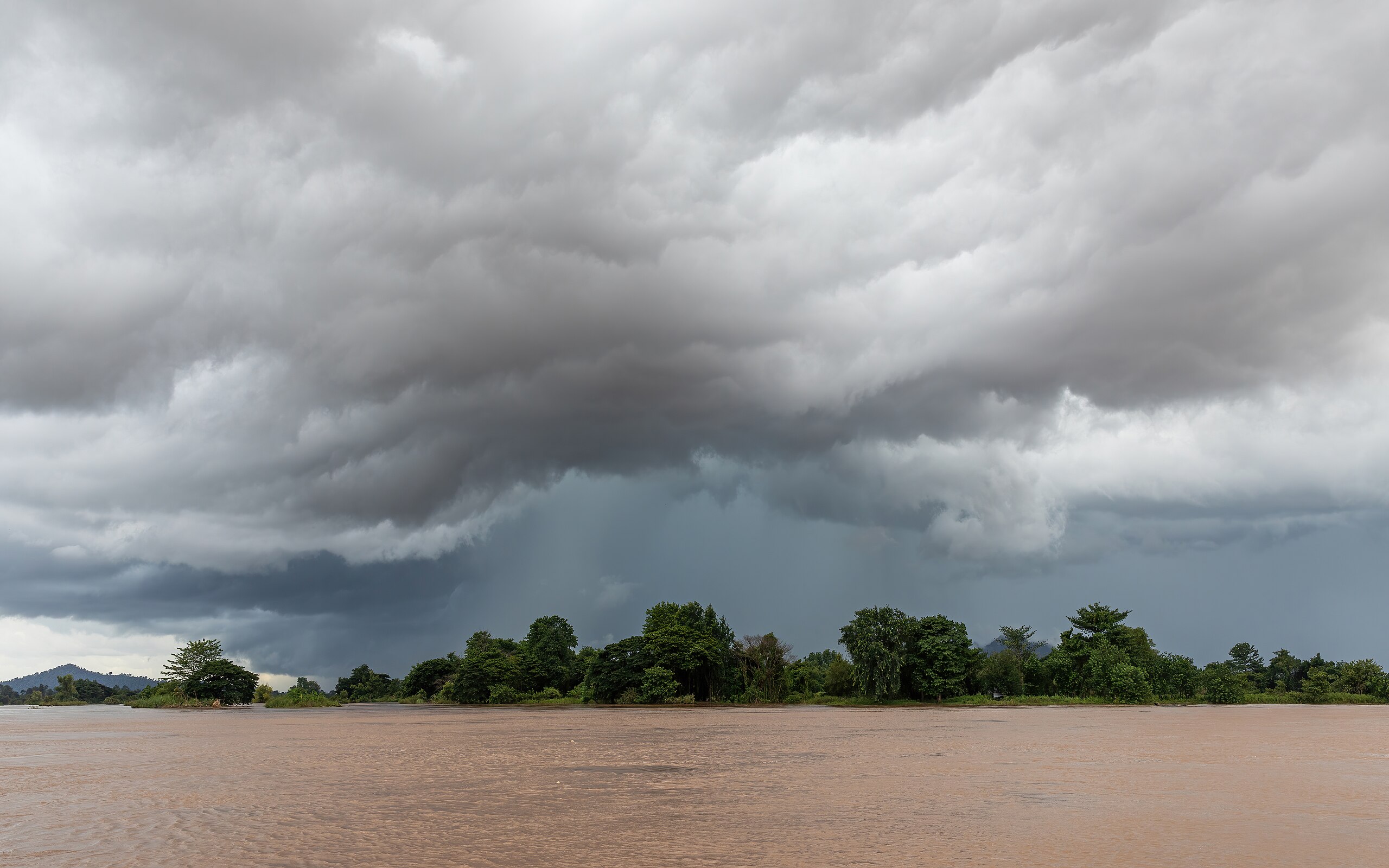
Grey stormy clouds over Don Som island seen from a pirogue in Laos
Summary
[edit]
| Description |
English: Grey stormy clouds over Don Som island, seen from a pirogue on the Mekong river during the monsoon, in Si Phan Don, Laos.
Français : Nuages gris orageux au-dessus de l'île de Don Som, vus depuis une pirogue sur le Mékong pendant la mousson, à Si Phan Don, Laos. |
| Date | |
| Source | Own work |
| Author | Basile Morin |
| Camera location | | View this and other nearby images on: OpenStreetMap |
|---|
Licensing
[edit]
I, the copyright holder of this work, hereby publish it under the following license:
This file is licensed under the Creative Commons Attribution-Share Alike 4.0 International license.
- You are free:
- to share – to copy, distribute and transmit the work
- to remix – to adapt the work
- Under the following conditions:
- attribution – You must give appropriate credit, provide a link to the license, and indicate if changes were made. You may do so in any reasonable manner, but not in any way that suggests the licensor endorses you or your use.
- share alike – If you remix, transform, or build upon the material, you must distribute your contributions under the same or compatible license as the original.
This image has been assessed using the Quality image guidelines and is considered a Quality image.
|
File history
Click on a date/time to view the file as it appeared at that time.
| Date/Time | Thumbnail | Dimensions | User | Comment | |
|---|---|---|---|---|---|
| current | 05:55, 4 July 2024 | | 6,234 × 3,896 (5.3 MB) | Basile Morin (talk | contribs) | Uploaded own work with UploadWizard |
You cannot overwrite this file.
File usage on Commons
The following 3 pages use this file: