File:Green Lane - geograph.org.uk - 352681.jpg
Jump to navigation
Jump to search
No higher resolution available.
Green_Lane_-_geograph.org.uk_-_352681.jpg (640 × 479 pixels, file size: 239 KB, MIME type: image/jpeg)
Captions
Captions
Add a one-line explanation of what this file represents
Summary
[edit]
| Description |
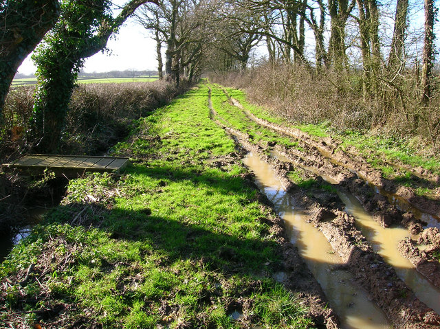
English: Green Lane A surviving track from the former Dicker Common which failed to become macadamised. The bridge to the left marks the start of the footpath to Chalvington Stud Farm. The former lane runs from Camberlot Road to Sheepcote Lane. Despite it being designated as a footpath it seems to be used by motor vehicles and horses. |
| Date | |
| Source | From geograph.org.uk |
| Author | Simon Carey |
| Attribution (required by the license) | Simon Carey / Green Lane / |
| Camera location | | View this and other nearby images on: OpenStreetMap |
|---|
_heading:270.00&language=en)
| Object location | | View this and other nearby images on: OpenStreetMap |
|---|
_heading:270.00&language=en)
Licensing
[edit]

|
This image was taken from the Geograph project collection. See this photograph's page on the Geograph website for the photographer's contact details. The copyright on this image is owned by Simon Carey and is licensed for reuse under the Creative Commons Attribution-ShareAlike 2.0 license.
|
This file is licensed under the Creative Commons Attribution-Share Alike 2.0 Generic license.
Attribution: Simon Carey
- You are free:
- to share – to copy, distribute and transmit the work
- to remix – to adapt the work
- Under the following conditions:
- attribution – You must give appropriate credit, provide a link to the license, and indicate if changes were made. You may do so in any reasonable manner, but not in any way that suggests the licensor endorses you or your use.
- share alike – If you remix, transform, or build upon the material, you must distribute your contributions under the same or compatible license as the original.
File history
Click on a date/time to view the file as it appeared at that time.
| Date/Time | Thumbnail | Dimensions | User | Comment | |
|---|---|---|---|---|---|
| current | 19:09, 2 January 2011 | | 640 × 479 (239 KB) | GeographBot (talk | contribs) | == {{int:filedesc}} == {{Information |description={{en|1=Green Lane A surviving track from the former Dicker Common which failed to become macadamised. The bridge to the left marks the start of the footpath to Chalvington Stud Farm. The former lane runs f |
You cannot overwrite this file.
File usage on Commons
There are no pages that use this file.