File:Grebbelinie, kazemat E13 bij Hoogland.jpg
Jump to navigation
Jump to search

Size of this preview: 800 × 585 pixels. Other resolutions: 320 × 234 pixels | 640 × 468 pixels | 1,024 × 749 pixels | 1,280 × 936 pixels | 2,704 × 1,978 pixels.
Original file (2,704 × 1,978 pixels, file size: 1,013 KB, MIME type: image/jpeg)
Captions
Captions
Add a one-line explanation of what this file represents
Summary
[edit]
| Description |
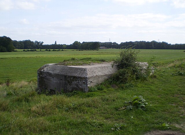
English: Bunker of Grebbelinie at the Eem river, west of Hoogland
Nederlands: Kazemat E13
|
||||
| Date | |||||
| Source | Own work | ||||
| Author | Apdency |
| Camera location | | View this and other nearby images on: OpenStreetMap |
|---|
Licensing
[edit]
| I, the copyright holder of this work, release this work into the public domain. This applies worldwide. In some countries this may not be legally possible; if so: I grant anyone the right to use this work for any purpose, without any conditions, unless such conditions are required by law. |
File history
Click on a date/time to view the file as it appeared at that time.
| Date/Time | Thumbnail | Dimensions | User | Comment | |
|---|---|---|---|---|---|
| current | 19:05, 29 August 2012 | | 2,704 × 1,978 (1,013 KB) | Apdency (talk | contribs) | Rotated |
| 11:54, 20 September 2009 |  | 2,861 × 2,146 (1.25 MB) | Apdency (talk | contribs) | {{Information |Description=Bunker of Grebbelinie at the Eem river, west of Hoogland |Source=Own work by uploader |Date=2009-09-17 |Author=Apdency |Permission= |other_versions= }} Category:Bunkers in the Netherlands Category:Eem [[ |
You cannot overwrite this file.
File usage on Commons
The following page uses this file:
- File:Grebbelinie-bunker Eem.jpg (file redirect)
File usage on other wikis
The following other wikis use this file:
- Usage on nl.wikipedia.org
- Usage on www.wikidata.org