File:Greater Hamburg location map.svg

Original file (SVG file, nominally 906 × 773 pixels, file size: 85 KB)
Captions
Captions
Summary
[edit]| Description |
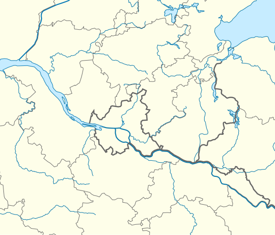
Quadratische Plattkarte, N-S-Streckung 160 %. Geographische Begrenzung der Karte:
Equirectangular projection, N/S stretching 160 %. Geographic limits of the map:
|
|
| Date | ||
| Source | Own work, using United States National Imagery and Mapping Agency data | |
| Author | NordNordWest | |
| Permission (Reusing this file) |
This file is licensed under the Creative Commons Attribution-Share Alike 3.0 Germany license.
 |


|
This map has been made or improved in the German Kartenwerkstatt (Map Lab). You can propose maps to improve as well.
|
Licensing
[edit]
- You are free:
- to share – to copy, distribute and transmit the work
- to remix – to adapt the work
- Under the following conditions:
- attribution – You must give appropriate credit, provide a link to the license, and indicate if changes were made. You may do so in any reasonable manner, but not in any way that suggests the licensor endorses you or your use.
- share alike – If you remix, transform, or build upon the material, you must distribute your contributions under the same or compatible license as the original.
File history
Click on a date/time to view the file as it appeared at that time.
| Date/Time | Thumbnail | Dimensions | User | Comment | |
|---|---|---|---|---|---|
| current | 14:33, 27 January 2013 | | 906 × 773 (85 KB) | NordNordWest (talk | contribs) | == {{int:filedesc}} == {{Information |Description= {{de|Positionskarte von Hamburg und Umgebung, Deutschland}} Quadratische Plattkarte, N-S-Streckung 160 %. Geographische Begrenzung der Karte: * N: 54.2° N * S: 53.0... |
You cannot overwrite this file.
File usage on Commons
The following page uses this file:
File usage on other wikis
The following other wikis use this file:
- Usage on de.wikipedia.org
- Hamburger SV
- Hamburger Pokal
- Wikipedia:Kartenwerkstatt/Positionskarten/Europa
- Fußball-Oberliga Hamburg 2012/13
- Vorlage:Positionskarte Deutschland Großraum Hamburg
- Fußball-Oberliga Hamburg 2013/14
- Benutzer:Dirtsc/Kartenübersicht
- Fußball-Oberliga Hamburg 2014/15
- Fußball-Oberliga Hamburg 2015/16
- Fußball-Oberliga Hamburg 2016/17
- Fußball-Oberliga Hamburg 2017/18
- Fußball-Oberliga Hamburg 2018/19
- Fußball-Oberliga Hamburg 2019/20
- Fußball-Oberliga Hamburg 2020/21
- Fußball-Oberliga Hamburg 2021/22
- Fußball-Oberliga Hamburg 2022/23
- Fußball-Oberliga Hamburg 2023/24
- Benutzer:Centessimo/Spielwiese
- Fußball-Oberliga Hamburg 2024/25
- Usage on fr.wikipedia.org