File:Grazing bull, Moor Farm nature reserve - geograph.org.uk - 949622.jpg
Jump to navigation
Jump to search
No higher resolution available.
Grazing_bull,_Moor_Farm_nature_reserve_-_geograph.org.uk_-_949622.jpg (640 × 480 pixels, file size: 98 KB, MIME type: image/jpeg)
Captions
Captions
Add a one-line explanation of what this file represents
Summary
[edit]| Description |
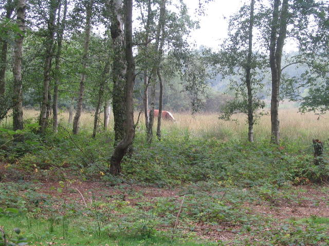
English: Grazing bull, Moor Farm nature reserve A sign a few yards back read something along the lines of 'there is a bull grazing with cows in the area alongside the path. It is docile but should you be at all concerned, follow the diversionary route'. The bull was looking towards me with interest... yep, I retreated to the diversion. Of course he was back to his grazing the minute I got back beyond the gate and turned to take a photo.
Moor Farm nature reserve is an area of coversand heath of 47.70 hectares (118 acres). The area was once farmed for sugar beet, potatoes and pigs but has been allowed to revert over the years since world war 2. There is a mix of wet/marshy pasture, grassland and woodland. The woodland is managed by selective thinning and charcoal burning, the grassland is maintained by grazing or periodic mowing. |
| Date | |
| Source | From geograph.org.uk |
| Author | E Gammie |
| Attribution (required by the license) | E Gammie / Grazing bull, Moor Farm nature reserve / |
| Camera location | | View this and other nearby images on: OpenStreetMap |
|---|
| Object location | | View this and other nearby images on: OpenStreetMap |
|---|
Licensing
[edit]
|
This image was taken from the Geograph project collection. See this photograph's page on the Geograph website for the photographer's contact details. The copyright on this image is owned by E Gammie and is licensed for reuse under the Creative Commons Attribution-ShareAlike 2.0 license.
|
This file is licensed under the Creative Commons Attribution-Share Alike 2.0 Generic license.
Attribution: E Gammie
- You are free:
- to share – to copy, distribute and transmit the work
- to remix – to adapt the work
- Under the following conditions:
- attribution – You must give appropriate credit, provide a link to the license, and indicate if changes were made. You may do so in any reasonable manner, but not in any way that suggests the licensor endorses you or your use.
- share alike – If you remix, transform, or build upon the material, you must distribute your contributions under the same or compatible license as the original.

_heading:270.00&language=en)
_heading:270.00&language=en)
File history
Click on a date/time to view the file as it appeared at that time.
| Date/Time | Thumbnail | Dimensions | User | Comment | |
|---|---|---|---|---|---|
| current | 10:01, 22 February 2011 | | 640 × 480 (98 KB) | GeographBot (talk | contribs) | == {{int:filedesc}} == {{Information |description={{en|1=Grazing bull, Moor Farm nature reserve A sign a few yards back read something along the lines of 'there is a bull grazing with cows in the area alongside the path. It is docile but should you be at |
You cannot overwrite this file.
File usage on Commons
There are no pages that use this file.