File:Grant's Canal 1962 USGS topo.png
Jump to navigation
Jump to search
No higher resolution available.
Grant's_Canal_1962_USGS_topo.png (438 × 329 pixels, file size: 366 KB, MIME type: image/png)
Captions
Captions
Add a one-line explanation of what this file represents
Summary
[edit]
| Description |
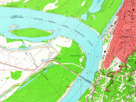
English: Portion of the 1962 1:24000 Vicksburg West, MS USGS topographic map showing the remains of the route of Grant's Canal |
| Date | |
| Source | https://ngmdb.usgs.gov/ht-bin/tv_browse.pl?id=1657a789434161922a7e634e7654d612 |
| Author | United States Geological Survey |
Licensing
[edit]
This image is in the public domain in the United States because it only contains materials that originally came from the United States Geological Survey, an agency of the United States Department of the Interior. For more information, see the official USGS copyright policy.
|
File history
Click on a date/time to view the file as it appeared at that time.
| Date/Time | Thumbnail | Dimensions | User | Comment | |
|---|---|---|---|---|---|
| current | 00:52, 26 July 2021 | | 438 × 329 (366 KB) | Hog Farm (talk | contribs) | Uploaded a work by United States Geological Survey from https://ngmdb.usgs.gov/ht-bin/tv_browse.pl?id=1657a789434161922a7e634e7654d612 with UploadWizard |
You cannot overwrite this file.
File usage on Commons
There are no pages that use this file.