File:Grandmall axis 9.jpg
Jump to navigation
Jump to search
Size of this preview: 800 × 597 pixels. Other resolutions: 320 × 239 pixels | 640 × 478 pixels | 1,024 × 764 pixels | 1,280 × 955 pixels | 2,544 × 1,899 pixels.
Original file (2,544 × 1,899 pixels, file size: 1.42 MB, MIME type: image/jpeg)
Captions
Captions
Add a one-line explanation of what this file represents
Summary
[edit]| Camera location | | View this and other nearby images on: OpenStreetMap |
|---|
| Description |
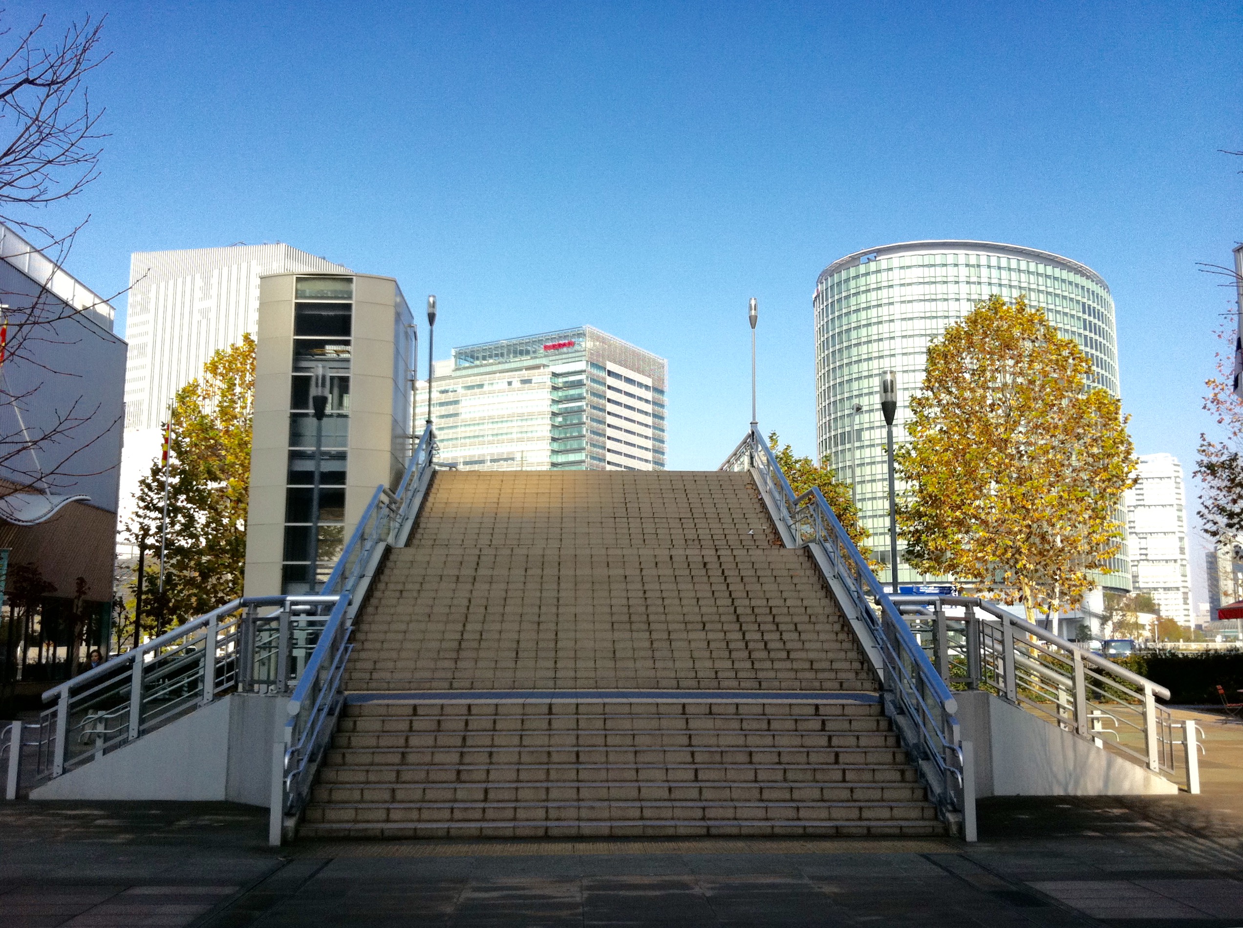
日本語: グランモール軸 旧ジャックモール(45・46街区)側から新高島駅(ゲントヨコハマ)方面へ向かう、すずかけ通り歩道橋。※撮影時点ではジャックモールは現存していた(2013年9月改稿)。 |
||
| Date | |||
| Source | Own work | ||
| Author | Thirteen-fri | ||
| Other versions |
|
.jpg)

Licensing
[edit]
I, the copyright holder of this work, hereby publish it under the following license:
This file is licensed under the Creative Commons Attribution-Share Alike 3.0 Unported license.
- You are free:
- to share – to copy, distribute and transmit the work
- to remix – to adapt the work
- Under the following conditions:
- attribution – You must give appropriate credit, provide a link to the license, and indicate if changes were made. You may do so in any reasonable manner, but not in any way that suggests the licensor endorses you or your use.
- share alike – If you remix, transform, or build upon the material, you must distribute your contributions under the same or compatible license as the original.
File history
Click on a date/time to view the file as it appeared at that time.
| Date/Time | Thumbnail | Dimensions | User | Comment | |
|---|---|---|---|---|---|
| current | 11:15, 2 July 2016 | | 2,544 × 1,899 (1.42 MB) | Thirteen-fri (talk | contribs) | 明度角度調整 |
| 16:15, 15 December 2011 |  | 2,592 × 1,936 (2.04 MB) | Thirteen-fri (talk | contribs) |
You cannot overwrite this file.
File usage on Commons
The following 2 pages use this file: