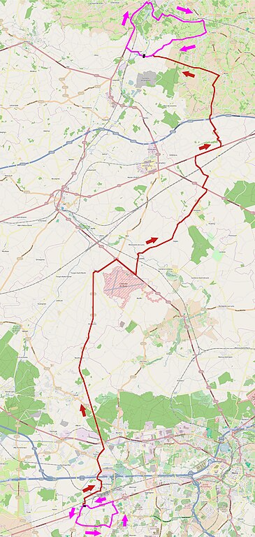
File:Grand Prix Criquielion 2014 (A).jpg
Jump to navigation
Jump to search

Size of this preview: 285 × 600 pixels. Other resolutions: 114 × 240 pixels | 228 × 480 pixels | 365 × 768 pixels | 486 × 1,024 pixels | 2,126 × 4,474 pixels.
Original file (2,126 × 4,474 pixels, file size: 4.3 MB, MIME type: image/jpeg)
Captions
Captions
Add a one-line explanation of what this file represents
| Description |
 |
|||
| Date | ||||
| Source | You may find a page on the OpenStreetMap wiki page for Grand Prix Criquielion 2014 | |||
| Creator |
OpenStreetMap contributors, JÄNNICK Jérémy, d'après la carte du circuit réalisée par l'organisation du Grand Prix Criquielion 2014. OpenStreetMap contributors |
|||
| Permission (Reusing this file) |
OpenStreetMap data is available under the Open Database License (details). Map tiles are licensed under the Creative Commons Attribution-ShareAlike 2.0 license (CC-BY-SA 2.0).
This file is licensed under the Creative Commons Attribution-Share Alike 2.0 Generic license.
|
|||
| Georeferencing | If inappropriate please set warp_status = skip to hide. | |||
| Other versions |
| Annotations | This image is annotated: View the annotations at Commons |
.jpg)
.jpg)
.jpg)
File history
Click on a date/time to view the file as it appeared at that time.
| Date/Time | Thumbnail | Dimensions | User | Comment | |
|---|---|---|---|---|---|
| current | 14:42, 22 December 2014 | | 2,126 × 4,474 (4.3 MB) | Jérémy-Günther-Heinz Jähnick (talk | contribs) | {{OpenStreetMap |name = Grand Prix Criquielion 2014 |location = |description = {{Cyclisme en Nord-Pas-de-Calais et en Belgique|Grand Prix Criquielion 2014}} |top = |bottom = |left = |right = |date = 2014-12-22 |authors = OpenStreetMap contribu... |
You cannot overwrite this file.
File usage on Commons
The following 3 pages use this file:
File usage on other wikis
The following other wikis use this file:
- Usage on fr.wikipedia.org
- Usage on www.wikidata.org
.jpg&oldid=650285712)