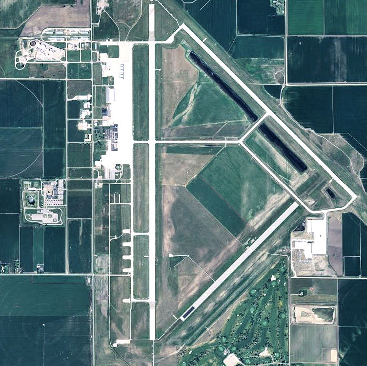
File:Grand Island Army Airfield - Nebraska.jpg
Jump to navigation
Jump to search
Size of this preview: 602 × 600 pixels. Other resolutions: 241 × 240 pixels | 482 × 480 pixels | 752 × 749 pixels.
Original file (752 × 749 pixels, file size: 165 KB, MIME type: image/jpeg)
Captions
Captions
Add a one-line explanation of what this file represents
Summary
[edit]
| Description | |
| Source |
USGS via TopoQuest |
| Author | United States Geological Survey (USGS) |
| Permission (Reusing this file) |
Public domain |
Licensing
[edit]
This image is in the public domain in the United States because it only contains materials that originally came from the United States Geological Survey, an agency of the United States Department of the Interior. For more information, see the official USGS copyright policy.
|
File history
Click on a date/time to view the file as it appeared at that time.
| Date/Time | Thumbnail | Dimensions | User | Comment | |
|---|---|---|---|---|---|
| current | 20:58, 24 May 2012 | | 752 × 749 (165 KB) | Bwmoll3 (talk | contribs) | {{Information |Description ={{en|1=Grand Island Army Airfield - Nebraska}} |Source =http://www.topoquest.com/map.php?lat=40.96640&lon=-98.31161&datum=nad83&zoom=4&map=sat1m&coord=d&mode=zoomout&size=l |Author =US Geological Survey |D... |
You cannot overwrite this file.
File usage on Commons
There are no pages that use this file.
File usage on other wikis
The following other wikis use this file:
- Usage on en.wikipedia.org
- Usage on ur.wikipedia.org
- Usage on www.wikidata.org