File:Grand Canyon satellite map.jpg
Jump to navigation
Jump to search
Size of this preview: 800 × 462 pixels. Other resolutions: 320 × 185 pixels | 640 × 370 pixels | 1,024 × 592 pixels | 1,360 × 786 pixels.
Original file (1,360 × 786 pixels, file size: 512 KB, MIME type: image/jpeg)
Captions
Captions
Add a one-line explanation of what this file represents
| Description |
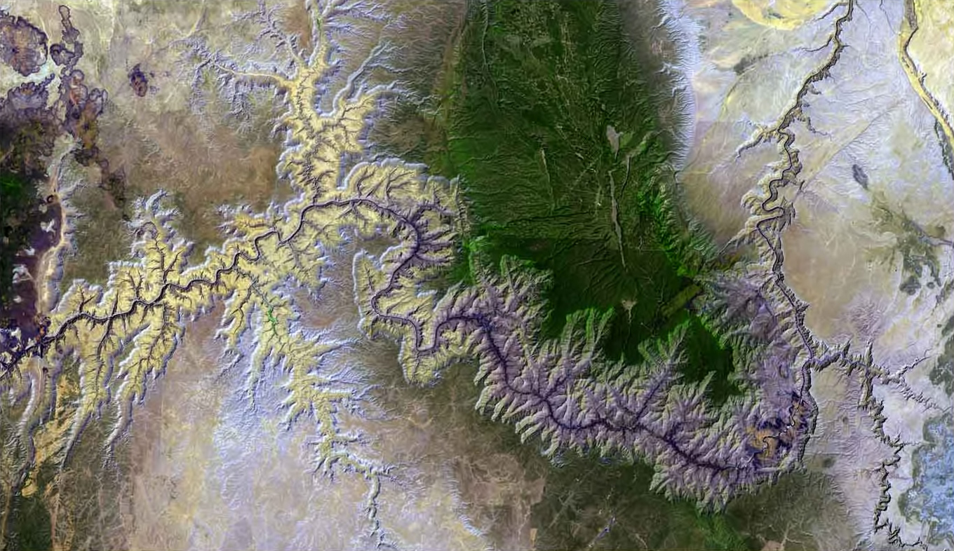
English: Satellite picture of the Grand Canyon, and Colorado River in the Grand Canyon — in northern Arizona.
|
| Date | |
| Source | http://www.terraprints.com |
| Author | http://www.terraprints.com |
| Permission (Reusing this file) |
This file is licensed under the Creative Commons Attribution 2.5 Generic license. Attribution: www.terraprints.com
|
File history
Click on a date/time to view the file as it appeared at that time.
| Date/Time | Thumbnail | Dimensions | User | Comment | |
|---|---|---|---|---|---|
| current | 23:44, 26 June 2010 | | 1,360 × 786 (512 KB) | Ras67 (talk | contribs) | cropped |
| 18:34, 25 October 2006 |  | 1,490 × 1,000 (139 KB) | Terraprints (talk | contribs) | {{Information |Description=The raw satellite imagery shown in these images was obtain from NASA and/or the US Geological Survey. Post-processing and production by http://www.terraprints.com |Source=http://www.terraprints.com |Date=20061025 |Author=http:// |
You cannot overwrite this file.
File usage on Commons
The following 2 pages use this file:
File usage on other wikis
The following other wikis use this file:
- Usage on de.wikipedia.org