File:Grabels Bel Air sud 28062009.JPG
Jump to navigation
Jump to search
Size of this preview: 450 × 600 pixels. Other resolutions: 180 × 240 pixels | 360 × 480 pixels | 576 × 768 pixels | 768 × 1,024 pixels | 1,536 × 2,048 pixels.
Original file (1,536 × 2,048 pixels, file size: 654 KB, MIME type: image/jpeg)
Captions
Captions
Add a one-line explanation of what this file represents
Summary
[edit]
| Description |
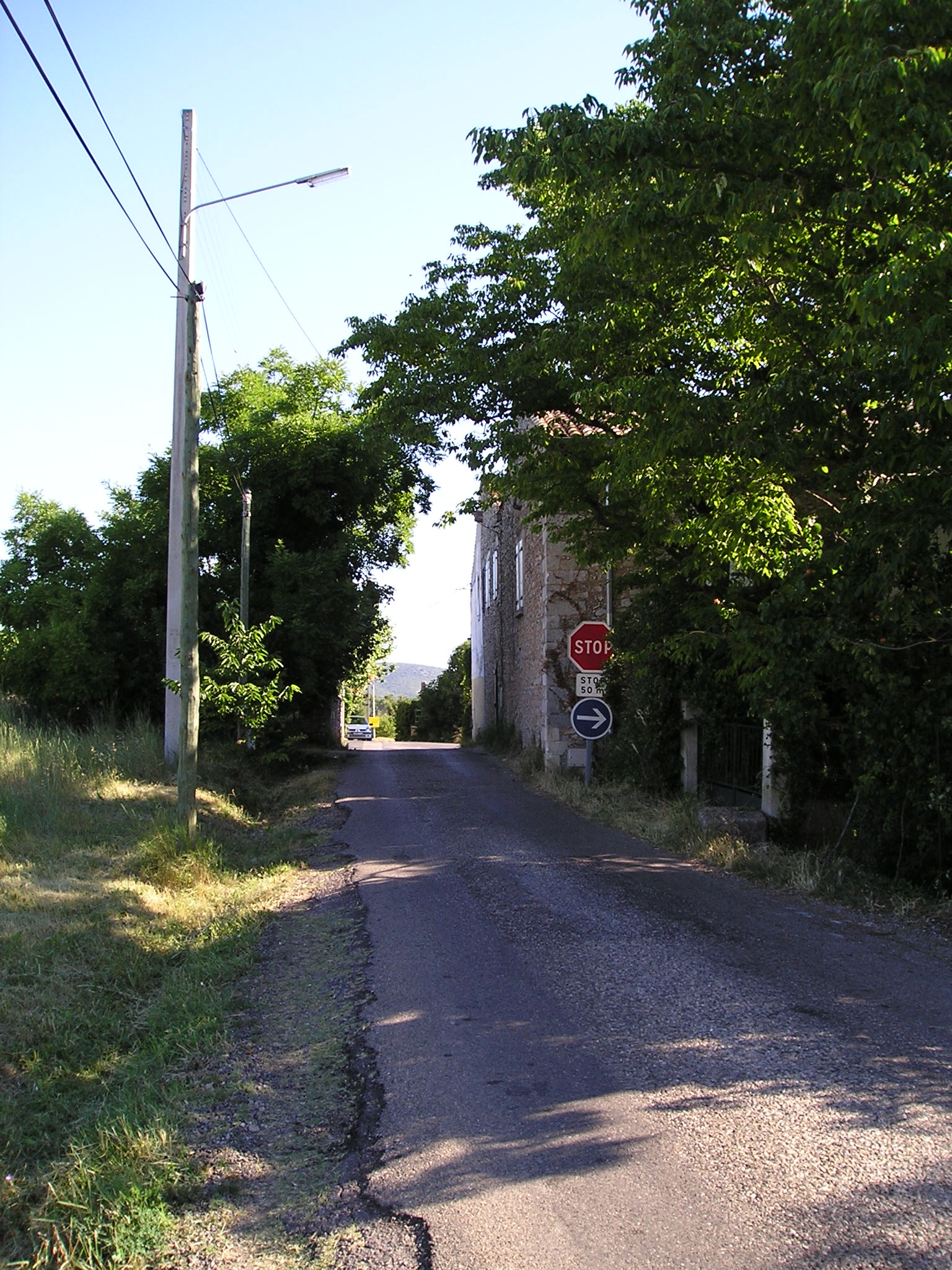
English: West of Montpellier, Bel-Air, a little place at the edge of Grabels. View from North from the D112 road.
Note: highest point of the 4th step of the 2009 Tour de France ; competitors come from the foreground and go through Bel-Air directing to Murviel-lès-Montpellier.
Français : A l'ouest de Montpellier, le lieu-dit de Bel-Air vue du sud depuis la route départementale D112 sur le territoire de Grabels (à gauche de la route, territoire de Montarnaud).
Note : point culminant de la 4e étape du Tour de France 2009 ; les coureurs arrivent de l'arrière-plan et traversent tout droit le hameau en direction du photographe et de Murviel-lès-Montpellier. |
| Date | |
| Source | Own work |
| Author | Sebjarod |
Licensing
[edit]
I, the copyright holder of this work, hereby publish it under the following licenses:

|
Permission is granted to copy, distribute and/or modify this document under the terms of the GNU Free Documentation License, Version 1.2 or any later version published by the Free Software Foundation; with no Invariant Sections, no Front-Cover Texts, and no Back-Cover Texts. A copy of the license is included in the section entitled GNU Free Documentation License. |
This file is licensed under the Creative Commons Attribution-Share Alike 3.0 Unported license.
- You are free:
- to share – to copy, distribute and transmit the work
- to remix – to adapt the work
- Under the following conditions:
- attribution – You must give appropriate credit, provide a link to the license, and indicate if changes were made. You may do so in any reasonable manner, but not in any way that suggests the licensor endorses you or your use.
- share alike – If you remix, transform, or build upon the material, you must distribute your contributions under the same or compatible license as the original.
You may select the license of your choice.
File history
Click on a date/time to view the file as it appeared at that time.
| Date/Time | Thumbnail | Dimensions | User | Comment | |
|---|---|---|---|---|---|
| current | 18:26, 3 July 2009 | | 1,536 × 2,048 (654 KB) | Sebjarod (talk | contribs) | {{Information |Description={{en|1=West of Montpellier, Bel-Air, a little place at the edge of Grabels. View from North from the D112 road. Note: highest point of the 4th step of the 2009 Tour de France ; competitors come from the foreground and g |
You cannot overwrite this file.
File usage on Commons
There are no pages that use this file.