File:Gostynin location map.svg
Jump to navigation
Jump to search

Size of this PNG preview of this SVG file: 442 × 599 pixels. Other resolutions: 177 × 240 pixels | 354 × 480 pixels | 566 × 768 pixels | 755 × 1,024 pixels | 1,510 × 2,048 pixels | 685 × 929 pixels.
Original file (SVG file, nominally 685 × 929 pixels, file size: 465 KB)
Captions
Captions
Add a one-line explanation of what this file represents
| Description |
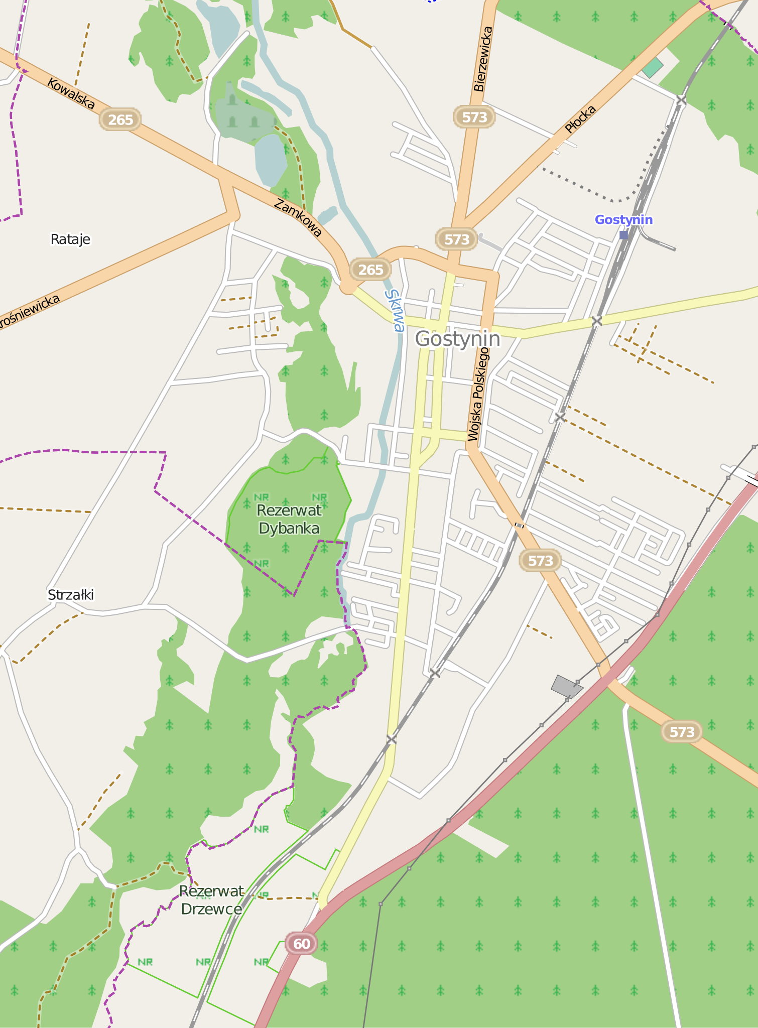
Polski: Mapa miasta Gostynin, Polska
English: Map of Gostynin, Poland |
|||||||||
| Date | ||||||||||
| Source | You may find a page on the OpenStreetMap wiki page for Gostynin | |||||||||
| Creator |
OpenStreetMap contributors OpenStreetMap contributors |
|||||||||
| Permission (Reusing this file) |
OpenStreetMap data is available under the Open Database License (details). Map tiles are licensed under the Creative Commons Attribution-ShareAlike 2.0 license (CC-BY-SA 2.0).
This file is licensed under the Creative Commons Attribution-Share Alike 2.0 Generic license.
|
|||||||||
| Geotemporal data | ||||||||||
| Bounding box |
|
|||||||||
| Georeferencing | If inappropriate please set warp_status = skip to hide. | |||||||||
File history
Click on a date/time to view the file as it appeared at that time.
| Date/Time | Thumbnail | Dimensions | User | Comment | |
|---|---|---|---|---|---|
| current | 09:14, 12 May 2014 | | 685 × 929 (465 KB) | VanWiel (talk | contribs) | {{OpenStreetMap | name = Gostynin | location = Gostynin | description = {{pl|Mapa miasta Gostynin, Polska}} {{en|Map of Gostynin, Poland}} | top = 52.4446 | left = 19.4281 | right = 19.48... |
You cannot overwrite this file.
File usage on Commons
There are no pages that use this file.
File usage on other wikis
The following other wikis use this file:
- Usage on pl.wikipedia.org
- Gostynin (stacja kolejowa)
- Parafia Miłosierdzia Bożego w Gostyninie
- Ratusz w Gostyninie
- Cerkiew św. Mikołaja w Gostyninie
- Nowy cmentarz żydowski w Gostyninie
- Parafia św. Marcina w Gostyninie
- Cmentarz ewangelicko-augsburski w Gostyninie
- Stadion Miejski im. Janusza Kusocińskiego w Gostyninie
- Rezerwat przyrody Drzewce
- Rezerwat przyrody Dybanka
- Zamek w Gostyninie
- Kaplica św. Jakuba w Gostyninie
- Kościół Najświętszej Maryi Panny Matki Kościoła w Gostyninie
- Moduł:Mapa/dane/Gostynin
- Rataje (Gostynin)
- Bratoszewo
- Usage on pl.wikibooks.org
- Usage on pt.wikipedia.org