File:Goshikizuka-kofun 3.jpg
Jump to navigation
Jump to search
No higher resolution available.
Goshikizuka-kofun_3.jpg (561 × 561 pixels, file size: 508 KB, MIME type: image/jpeg)
Captions
Captions
Add a one-line explanation of what this file represents
| Description |
|
|||||
| Date | ||||||
| Source | http://w3land.mlit.go.jp/Air/photo400/85/ckk-85-4/c15/ckk-85-4_c15_3.jpg | |||||
| Author | Copyright © 国土画像情報(カラー空中写真)国土交通省 | |||||
| Permission (Reusing this file) |
|


| Camera location | | View this and other nearby images on: OpenStreetMap |
|---|
File history
Click on a date/time to view the file as it appeared at that time.
| Date/Time | Thumbnail | Dimensions | User | Comment | |
|---|---|---|---|---|---|
| current | 12:37, 21 August 2020 | | 561 × 561 (508 KB) | 名古屋太郎 (talk | contribs) | 明るさ等変更 |
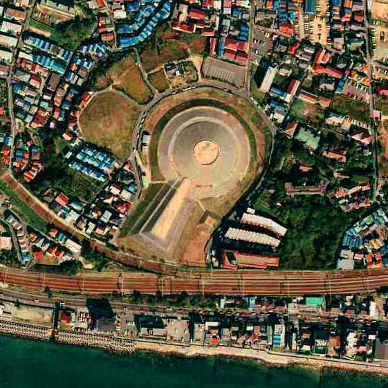
| 15:18, 18 November 2007 |  | 561 × 550 (262 KB) | Jnn (talk | contribs) | {{Information |Description=*五色塚古墳 *[http://w3land.mlit.go.jp/cgi-bin/WebGIS2/WC_AirPhoto.cgi?IT=p&DT=n&PFN=CKK-85-4&PCN=C15&IDX=3&PNO=1,2,3,4,5,6,7,8,9,10 ソース] *整理番号:CKK-85-4 *撮影:1985年(昭和60年) |Source=http://w3l |
You cannot overwrite this file.
File usage on Commons
There are no pages that use this file.
File usage on other wikis
The following other wikis use this file:
- Usage on de.wikipedia.org
- Usage on en.wikipedia.org
- Usage on ja.wikipedia.org
- Usage on ru.wikipedia.org
- Usage on uk.wikipedia.org
- Usage on zh.wikipedia.org