File:Gosanimari rajpat.jpg
Jump to navigation
Jump to search
Size of this preview: 800 × 332 pixels. Other resolutions: 320 × 133 pixels | 640 × 266 pixels | 1,024 × 425 pixels | 1,280 × 532 pixels | 4,000 × 1,662 pixels.
Original file (4,000 × 1,662 pixels, file size: 1.37 MB, MIME type: image/jpeg)
Captions
Captions
Gosanimari rajpat
Summary
[edit]
| Description |
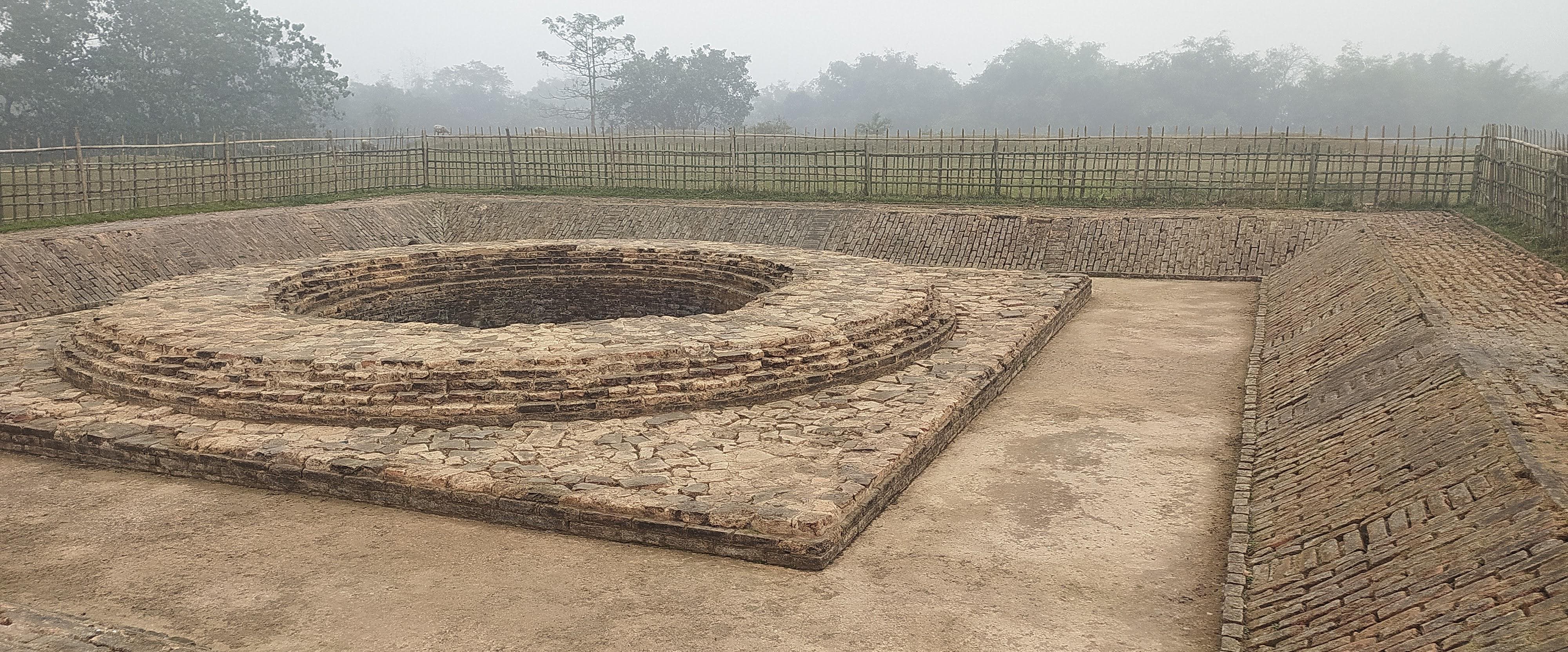
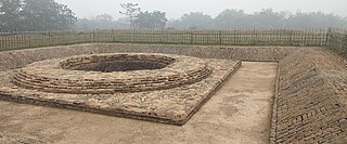
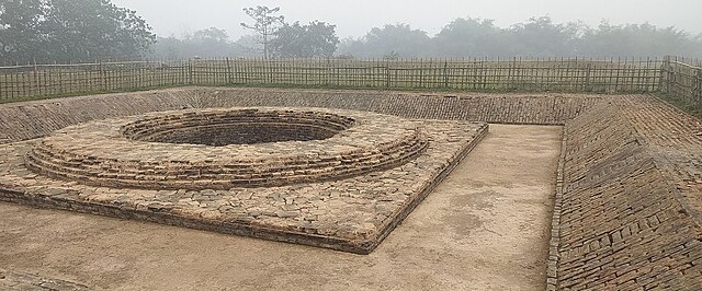
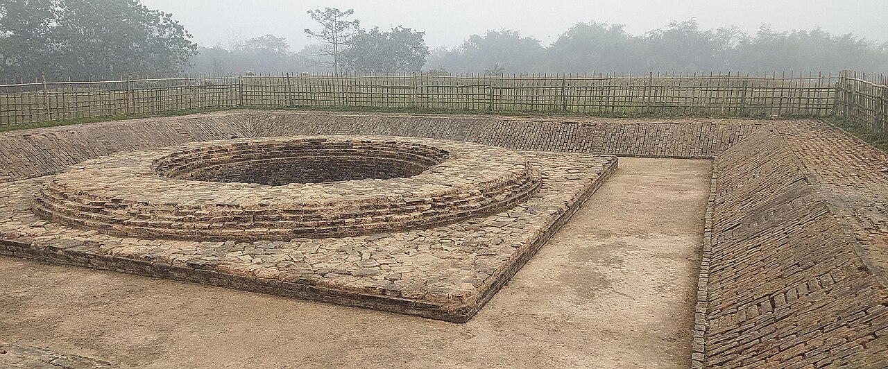
English: Rajpat or Kamtapur Fort is an archaeological site in present-day Gosanimari in the Dinhata I CD block in the Dinhata subdivision of the Cooch Behar district in West Bengal, India.
|
||
| Date | |||
| Source | Own work | ||
| Author | Leoneix |
| Camera location | | View this and other nearby images on: OpenStreetMap |
|---|
Licensing
[edit]
I, the copyright holder of this work, hereby publish it under the following license:
This file is licensed under the Creative Commons Attribution 4.0 International license.
- You are free:
- to share – to copy, distribute and transmit the work
- to remix – to adapt the work
- Under the following conditions:
- attribution – You must give appropriate credit, provide a link to the license, and indicate if changes were made. You may do so in any reasonable manner, but not in any way that suggests the licensor endorses you or your use.
File history
Click on a date/time to view the file as it appeared at that time.
| Date/Time | Thumbnail | Dimensions | User | Comment | |
|---|---|---|---|---|---|
| current | 18:56, 11 December 2023 | | 4,000 × 1,662 (1.37 MB) | Leoneix (talk | contribs) | Uploaded own work with UploadWizard |
You cannot overwrite this file.
File usage on Commons
There are no pages that use this file.