File:Gonstead Clinic of Chiropractic - panoramio.jpg
Jump to navigation
Jump to search

Size of this preview: 800 × 600 pixels. Other resolutions: 320 × 240 pixels | 640 × 480 pixels | 1,024 × 768 pixels | 1,280 × 960 pixels | 2,560 × 1,920 pixels | 4,000 × 3,000 pixels.
Original file (4,000 × 3,000 pixels, file size: 2.94 MB, MIME type: image/jpeg)
Captions
Captions
Add a one-line explanation of what this file represents
Summary
[edit]
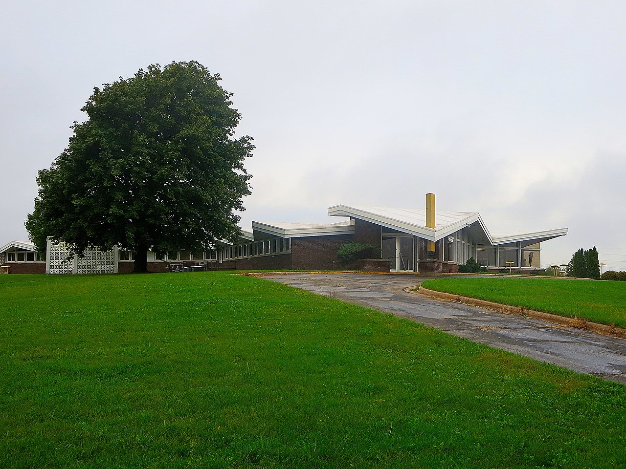
| Description | Gonstead Clinic of Chiropractic | ||
| Date | Taken on 4 October 2013 | ||
| Source | https://web.archive.org/web/20161028071228/http://www.panoramio.com/photo/97271566 | ||
| Author | Corey Coyle | ||
| Permission (Reusing this file) |
This file is licensed under the Creative Commons Attribution 3.0 Unported license. Attribution: Corey Coyle
|
||
| Tags (from Panoramio photo page) | Mount Horeb, 2013, autumn, building, Dane County, Fall, Mount Horeb, United States, Wisconsin |
| Camera location | | View this and other nearby images on: OpenStreetMap |
|---|
|
This is an image of a place or building that is listed on the National Register of Historic Places in the United States of America. Its reference number is 100008271. |
File history
Click on a date/time to view the file as it appeared at that time.
| Date/Time | Thumbnail | Dimensions | User | Comment | |
|---|---|---|---|---|---|
| current | 14:57, 12 March 2017 | | 4,000 × 3,000 (2.94 MB) | Panoramio upload bot (talk | contribs) | == {{int:filedesc}} == {{Information |description=Gonstead Clinic of Chiropractic |date={{Taken on|2013-10-04}} |source=http://www.panoramio.com/photo/97271566 |author=[http://www.panoramio.com/user/2184098?with_photo_id=97271566 Corey Coyle] |permissi... |
You cannot overwrite this file.
File usage on Commons
There are no pages that use this file.
File usage on other wikis
The following other wikis use this file:
- Usage on en.wikipedia.org