File:Gobierno Unido del Casanare.png
Jump to navigation
Jump to search

Size of this preview: 720 × 600 pixels. Other resolutions: 288 × 240 pixels | 577 × 480 pixels | 922 × 768 pixels | 1,112 × 926 pixels.
Original file (1,112 × 926 pixels, file size: 32 KB, MIME type: image/png)
Captions
Captions
Add a one-line explanation of what this file represents
Summary
[edit]
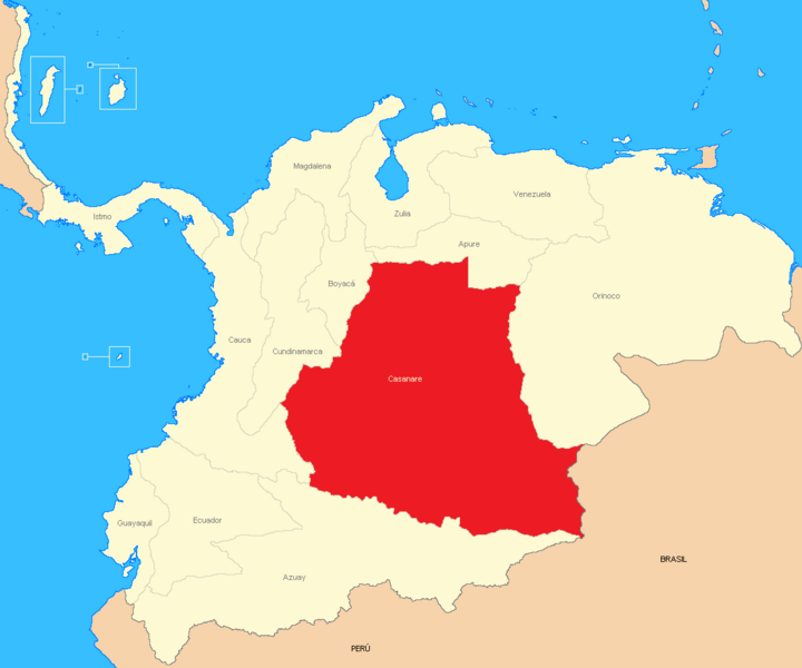
| Description | Mapa del Efímero estado independiente que existió en los Llanos de la Gran Colombia. |
| Date | |
| Source | Own work |
| Author | Édgar Francisco Bermúdez Mojica |
| Other versions | No hay |
Licensing
[edit]
| I, the copyright holder of this work, release this work into the public domain. This applies worldwide. In some countries this may not be legally possible; if so: I grant anyone the right to use this work for any purpose, without any conditions, unless such conditions are required by law. |
File history
Click on a date/time to view the file as it appeared at that time.
| Date/Time | Thumbnail | Dimensions | User | Comment | |
|---|---|---|---|---|---|
| current | 15:53, 26 December 2013 | | 1,112 × 926 (32 KB) | Milenioscuro (talk | contribs) | colores mas claros, y límites del país |
| 03:53, 15 March 2009 |  | 1,112 × 926 (32 KB) | Milenioscuro (talk | contribs) | mejora del mapa | |
| 17:36, 19 November 2007 |  | 800 × 569 (95 KB) | Phranciscusmagnus~commonswiki (talk | contribs) | {{Information |Description=Mapa del Efímero estado independiente que existió en los Llanos de la Gran Colombia. |Source=Me. |Date=19/11/2007 |Author=Édgar Francisco Bermúdez Mojica |Permission= |other_versions=No hay }} |
You cannot overwrite this file.
File usage on Commons
There are no pages that use this file.
File usage on other wikis
The following other wikis use this file:
- Usage on es.wikipedia.org