File:GloucestershireParliamentaryConstituency2010Results.svg
Jump to navigation
Jump to search

Size of this PNG preview of this SVG file: 201 × 161 pixels. Other resolutions: 300 × 240 pixels | 599 × 480 pixels | 959 × 768 pixels | 1,279 × 1,024 pixels | 2,557 × 2,048 pixels.
Original file (SVG file, nominally 201 × 161 pixels, file size: 59 KB)
Captions
Captions
Add a one-line explanation of what this file represents
Summary
[edit]
| Description |
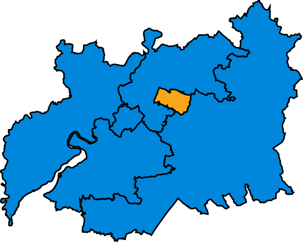
English: Map of Parliamentary constituencies in Gloucestershire, showing the results by party in the general election of 2010. |
| Source | Own work |
| Author | Wereon |
Licensing
[edit]
| I, the copyright holder of this work, release this work into the public domain. This applies worldwide. In some countries this may not be legally possible; if so: I grant anyone the right to use this work for any purpose, without any conditions, unless such conditions are required by law. |
File history
Click on a date/time to view the file as it appeared at that time.
| Date/Time | Thumbnail | Dimensions | User | Comment | |
|---|---|---|---|---|---|
| current | 17:59, 17 December 2019 | | 201 × 161 (59 KB) | The- (talk | contribs) | Cropped |
| 23:14, 25 January 2019 |  | 211 × 171 (120 KB) | The- (talk | contribs) | Fixed colours | |
| 20:57, 7 May 2010 |  | 211 × 171 (120 KB) | Wereon (talk | contribs) | == {{int:filedesc}} == Map of Parliamentary constituencies in Gloucestershire, showing the results by party in the general election of 2010. == {{int:license}} == {{PD-self}} Category:Locator maps of parliamentary constituencies of Gloucestershire [ |
You cannot overwrite this file.
File usage on Commons
The following 2 pages use this file:
File usage on other wikis
The following other wikis use this file:
- Usage on en.wikipedia.org
- Usage on fr.wikipedia.org