File:Gleb Kotelnikov board SPb bw.jpg
Jump to navigation
Jump to search
Size of this preview: 800 × 586 pixels. Other resolutions: 320 × 234 pixels | 640 × 469 pixels | 1,024 × 750 pixels | 1,280 × 937 pixels | 2,511 × 1,839 pixels.
Original file (2,511 × 1,839 pixels, file size: 2.47 MB, MIME type: image/jpeg)
Captions
Captions
Add a one-line explanation of what this file represents
| Description |
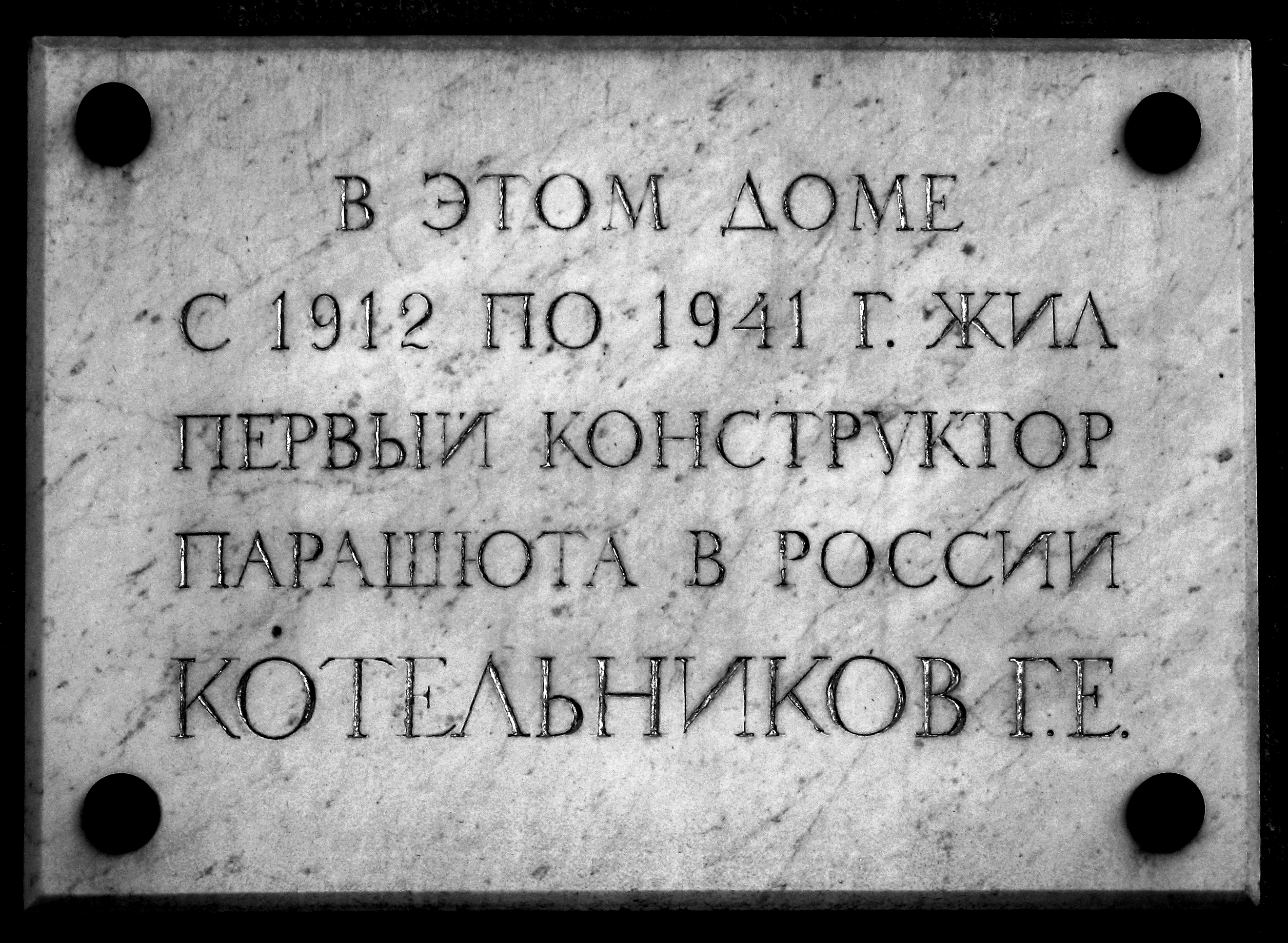
Русский: Мемориальная доска, 14-я линия, дом 31, В.О., Санкт-Петербург, Россия. Надпись на доске:
"В этом доме English: Marble plaques. 14 line, building 31, Vasilievsky Island, Saint-Petersburg, Russia. The title on the memorial plaque:
"Gleb Kotelnikov lived in this building in 1912-1941". |
||||||||||||||||
| Date | |||||||||||||||||
| Source | Own work | ||||||||||||||||
| Author |
|
||||||||||||||||
| Permission (Reusing this file) |
|
||||||||||||||||
File history
Click on a date/time to view the file as it appeared at that time.
| Date/Time | Thumbnail | Dimensions | User | Comment | |
|---|---|---|---|---|---|
| current | 20:40, 12 February 2012 | | 2,511 × 1,839 (2.47 MB) | AKA MBG (talk | contribs) | {{Information |Description= {{ru|Мемориальная доска, 14-я линия, дом 33?, В.О., Санкт-Петербург, Россия. Надпись на доске: "В этом дом� |
You cannot overwrite this file.
File usage on Commons
The following page uses this file:
File usage on other wikis
The following other wikis use this file:
- Usage on cv.wikipedia.org
- Usage on ru.wikipedia.org
- Usage on ru.wikivoyage.org
- Usage on www.wikidata.org