File:Gjaidsteig, Blick auf den Bäralplsattel - panoramio.jpg
Jump to navigation
Jump to search

Size of this preview: 800 × 600 pixels. Other resolutions: 320 × 240 pixels | 640 × 480 pixels | 1,024 × 768 pixels | 1,280 × 960 pixels | 2,560 × 1,920 pixels.
Original file (2,560 × 1,920 pixels, file size: 1.09 MB, MIME type: image/jpeg)
Captions
Captions
Add a one-line explanation of what this file represents
Summary
[edit]
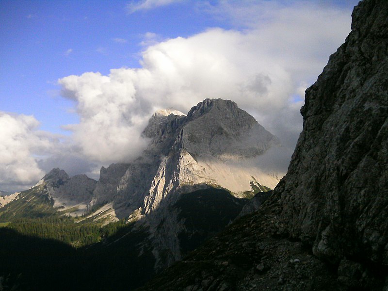
| Description | Gjaidsteig: Blick auf den Bäralplsattel | ||
| Date | Taken on 15 September 2012 | ||
| Source | https://web.archive.org/web/20161024162107/http://www.panoramio.com/photo/79188475 | ||
| Author | unixasket | ||
| Permission (Reusing this file) |
This file is licensed under the Creative Commons Attribution 3.0 Unported license. Attribution: unixasket
|
||
| Tags (from Panoramio photo page) | Mittenwald, Alpen, Alps, Bayern, Berge, Germany, Gjaidsteig, Karwendel, Mittenwald, Mountains |
| Camera location | | View this and other nearby images on: OpenStreetMap |
|---|
| Annotations | This image is annotated: View the annotations at Commons |
File history
Click on a date/time to view the file as it appeared at that time.
| Date/Time | Thumbnail | Dimensions | User | Comment | |
|---|---|---|---|---|---|
| current | 14:34, 2 February 2017 | | 2,560 × 1,920 (1.09 MB) | Panoramio upload bot (talk | contribs) | == {{int:filedesc}} == {{Information |description=Gjaidsteig: Blick auf den Bäralplsattel |date={{Taken on|2012-09-15}} |source=http://www.panoramio.com/photo/79188475 |author=[http://www.panoramio.com/user/3428365?with_photo_id=79188475 unixasket] |p... |
You cannot overwrite this file.
File usage on Commons
The following page uses this file: