File:Giławy - Building 04.jpg
Jump to navigation
Jump to search
Size of this preview: 800 × 396 pixels. Other resolutions: 320 × 158 pixels | 640 × 317 pixels | 1,024 × 507 pixels | 1,280 × 633 pixels | 2,560 × 1,267 pixels | 4,798 × 2,374 pixels.
Original file (4,798 × 2,374 pixels, file size: 4.08 MB, MIME type: image/jpeg)
Captions
Captions
Add a one-line explanation of what this file represents
Summary
[edit]
| Description |
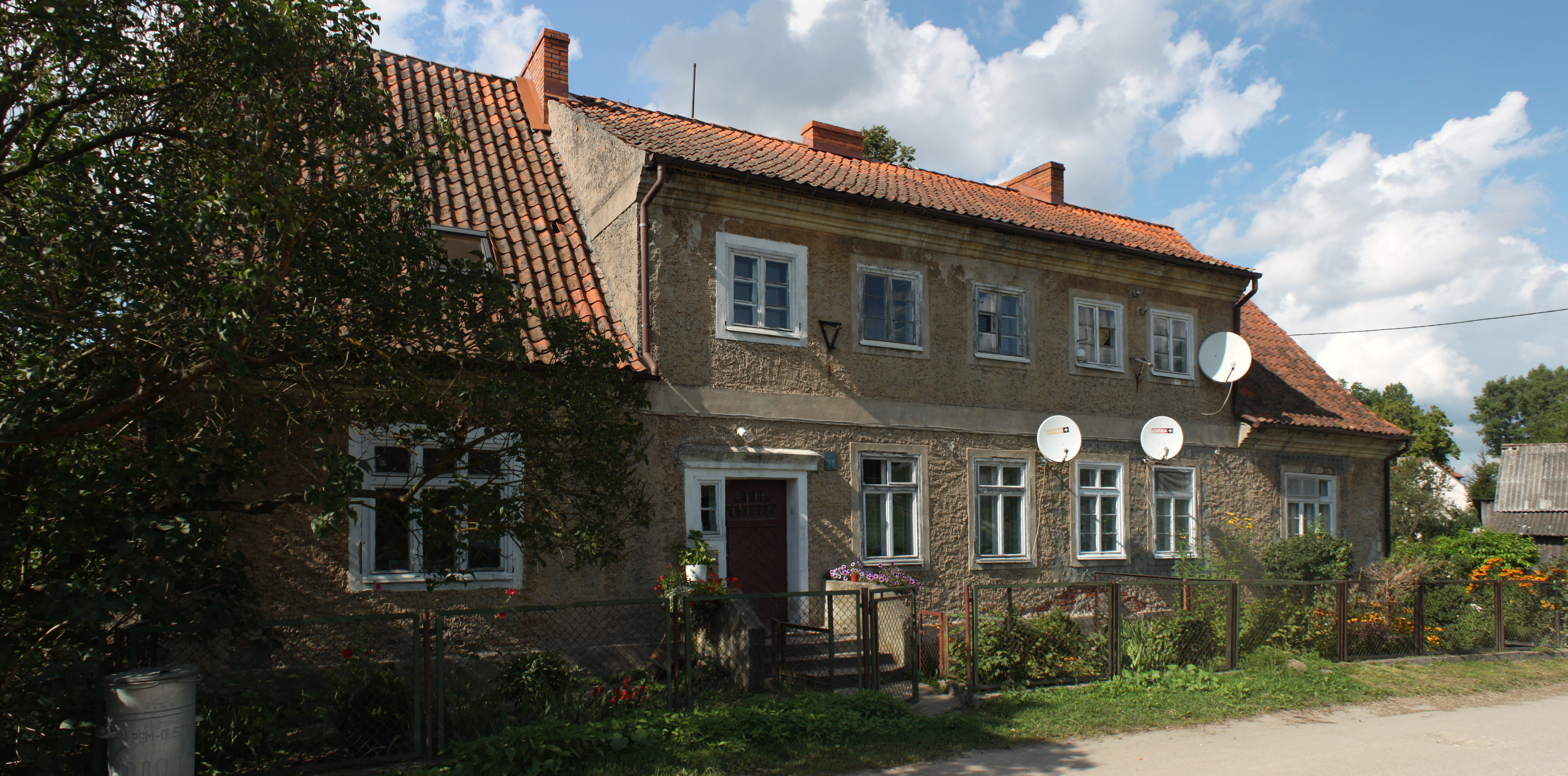
English: Building in Giławy.
Polski: Budynek we wsi Giławy. |
| Date | |
| Source | Own work |
| Author | Yarl |
| Camera location | | View this and other nearby images on: OpenStreetMap |
|---|
Licensing
[edit]
This file is licensed under the Creative Commons Attribution-Share Alike 3.0 Poland license.
Attribution: Paweł Marynowski / Wikimedia Commons
- You are free:
- to share – to copy, distribute and transmit the work
- to remix – to adapt the work
- Under the following conditions:
- attribution – You must give appropriate credit, provide a link to the license, and indicate if changes were made. You may do so in any reasonable manner, but not in any way that suggests the licensor endorses you or your use.
- share alike – If you remix, transform, or build upon the material, you must distribute your contributions under the same or compatible license as the original.

This photo of Warmian-Masurian Voivodeship was taken during Wikiexpedition 2012 set up by Wikimedia Polska Association. You can see all photographs in category Wikiekspedycja 2012.
|
The making of this document was supported by Wikimedia Polska.
|
File history
Click on a date/time to view the file as it appeared at that time.
| Date/Time | Thumbnail | Dimensions | User | Comment | |
|---|---|---|---|---|---|
| current | 20:37, 18 September 2012 | | 4,798 × 2,374 (4.08 MB) | Yarl (talk | contribs) | VicuñaUploader 1.13 |
You cannot overwrite this file.
File usage on Commons
The following page uses this file:
File usage on other wikis
The following other wikis use this file:
- Usage on de.wikipedia.org