File:Gezer Map.jpg
Jump to navigation
Jump to search
No higher resolution available.
Gezer_Map.jpg (640 × 480 pixels, file size: 17 KB, MIME type: image/jpeg)
Captions
Captions
Add a one-line explanation of what this file represents
Summary
[edit]
| Description |
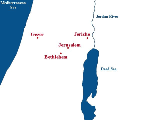
English: I created this map to illustrate the location of Gezer relative to Jerusalem, Jericho, and Bethlehem (as those are towns in the same region most people have heard of). |
| Date | 19 January 2007 (original upload date) |
| Source | Transferred from en.wikipedia by Ronhjones |
| Author | Wowaconia at en.wikipedia |
Licensing
[edit]
| This work has been released into the public domain by its author, Wowaconia at English Wikipedia. This applies worldwide. In some countries this may not be legally possible; if so: Wowaconia grants anyone the right to use this work for any purpose, without any conditions, unless such conditions are required by law. |
Original upload log
[edit]
The original description page was here. All following user names refer to en.wikipedia.
Upload date | User | Bytes | Dimensions | Comment
- 2007-01-19 08:58 (UTC) | Wowaconia | 16989 (bytes) | 640×480 | I created this map to illustrate the location of Gezer relative to Jerusalem, Jericho, and Bethlehem.
File history
Click on a date/time to view the file as it appeared at that time.
| Date/Time | Thumbnail | Dimensions | User | Comment | |
|---|---|---|---|---|---|
| current | 22:44, 24 January 2012 | | 640 × 480 (17 KB) | Ronhjones (talk | contribs) | (Original text) : I created this map to illustrate the location of Gezer relative to Jerusalem, Jericho, and Bethlehem. |
You cannot overwrite this file.
File usage on Commons
There are no pages that use this file.
File usage on other wikis
The following other wikis use this file:
- Usage on en.wikipedia.org
- Usage on no.wikipedia.org
- Usage on pt.wikipedia.org