File:Georgian municipalities with higlightened regions - grey.svg
Jump to navigation
Jump to search

Size of this PNG preview of this SVG file: 800 × 438 pixels. Other resolutions: 320 × 175 pixels | 640 × 350 pixels | 1,024 × 561 pixels | 1,280 × 701 pixels | 2,560 × 1,401 pixels | 833 × 456 pixels.
Original file (SVG file, nominally 833 × 456 pixels, file size: 2.09 MB)
Captions
Captions
Add a one-line explanation of what this file represents
| Description |
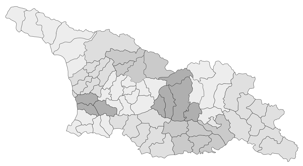
English: Map of municipalities of Georgia with regions |
| Date | (UTC) |
| Source | |
| Author |
|
| This is a retouched picture, which means that it has been digitally altered from its original version. Modifications: Full corrections. The original can be viewed here: Georgien - Karte der Wahlkreise.svg:
|
I, the copyright holder of this work, hereby publish it under the following license:
This file is licensed under the Creative Commons Attribution-Share Alike 2.5 Generic license.
- You are free:
- to share – to copy, distribute and transmit the work
- to remix – to adapt the work
- Under the following conditions:
- attribution – You must give appropriate credit, provide a link to the license, and indicate if changes were made. You may do so in any reasonable manner, but not in any way that suggests the licensor endorses you or your use.
- share alike – If you remix, transform, or build upon the material, you must distribute your contributions under the same or compatible license as the original.
Original upload log
[edit]
This image is a derivative work of the following images:
- File:Georgien_-_Karte_der_Wahlkreise.svg licensed with Cc-by-sa-2.5
- 2008-06-09T05:45:44Z Chumwa 833x456 (2126109 Bytes) Zwei kleinere Korrekturen (Nummerierung, Schreibweise)
- 2008-06-09T04:59:19Z Chumwa 833x456 (2126110 Bytes) "Nicht-Wahlkreise" besonders dargestellt
- 2008-06-08T17:15:06Z Chumwa 833x456 (2126200 Bytes) Wahlkreise mit Namen versehen
- 2008-06-08T09:52:51Z Chumwa 833x456 (2086799 Bytes) {{Information |Description={{en|1=abc}} |Source=Own work by uploader |Author=[[User:Chumwa|Chumwa]] |Date= |Permission= |other_versions= }} {{Information |Description= {{ de }} Karte der Wahlkreise von Georgien: |Source=Self
Uploaded with derivativeFX
File history
Click on a date/time to view the file as it appeared at that time.
| Date/Time | Thumbnail | Dimensions | User | Comment | |
|---|---|---|---|---|---|
| current | 04:40, 4 September 2010 | | 833 × 456 (2.09 MB) | DerFuchs (talk | contribs) | {{Information |Description={{en|Map of municipalities of Georgia with regions}} |Source=*Georgien_-_Karte_der_Wahlkreise.svg |Date=2010-09-03 18:33 (UTC) |Author=*[[:File:Georgien_-_Karte_der_Wahlkreise.svg| |
You cannot overwrite this file.
File usage on Commons
There are no pages that use this file.