File:Georgia topo map-blank.svg
Jump to navigation
Jump to search

Size of this PNG preview of this SVG file: 800 × 405 pixels. Other resolutions: 320 × 162 pixels | 640 × 324 pixels | 1,024 × 518 pixels | 1,280 × 648 pixels | 2,560 × 1,295 pixels | 850 × 430 pixels.
Original file (SVG file, nominally 850 × 430 pixels, file size: 4.49 MB)
Captions
Captions
Add a one-line explanation of what this file represents
Summary
[edit]| Description |
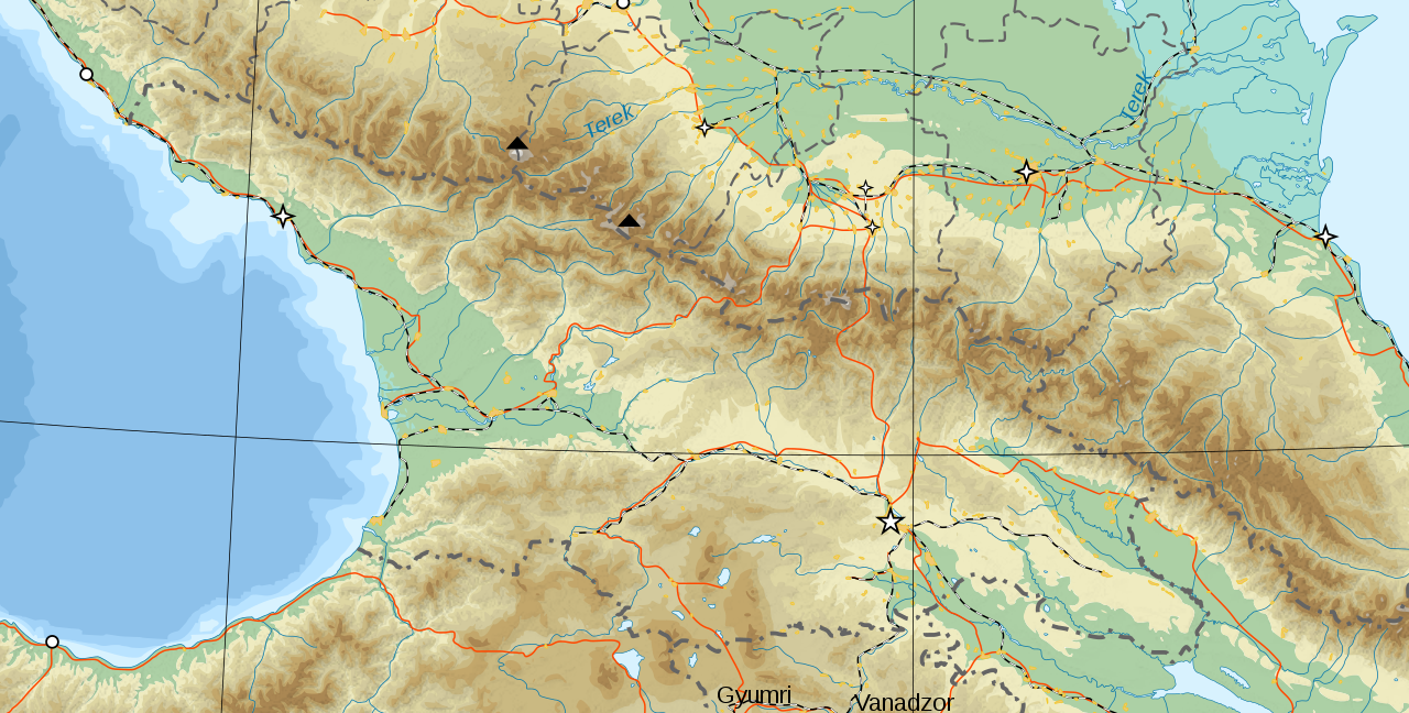
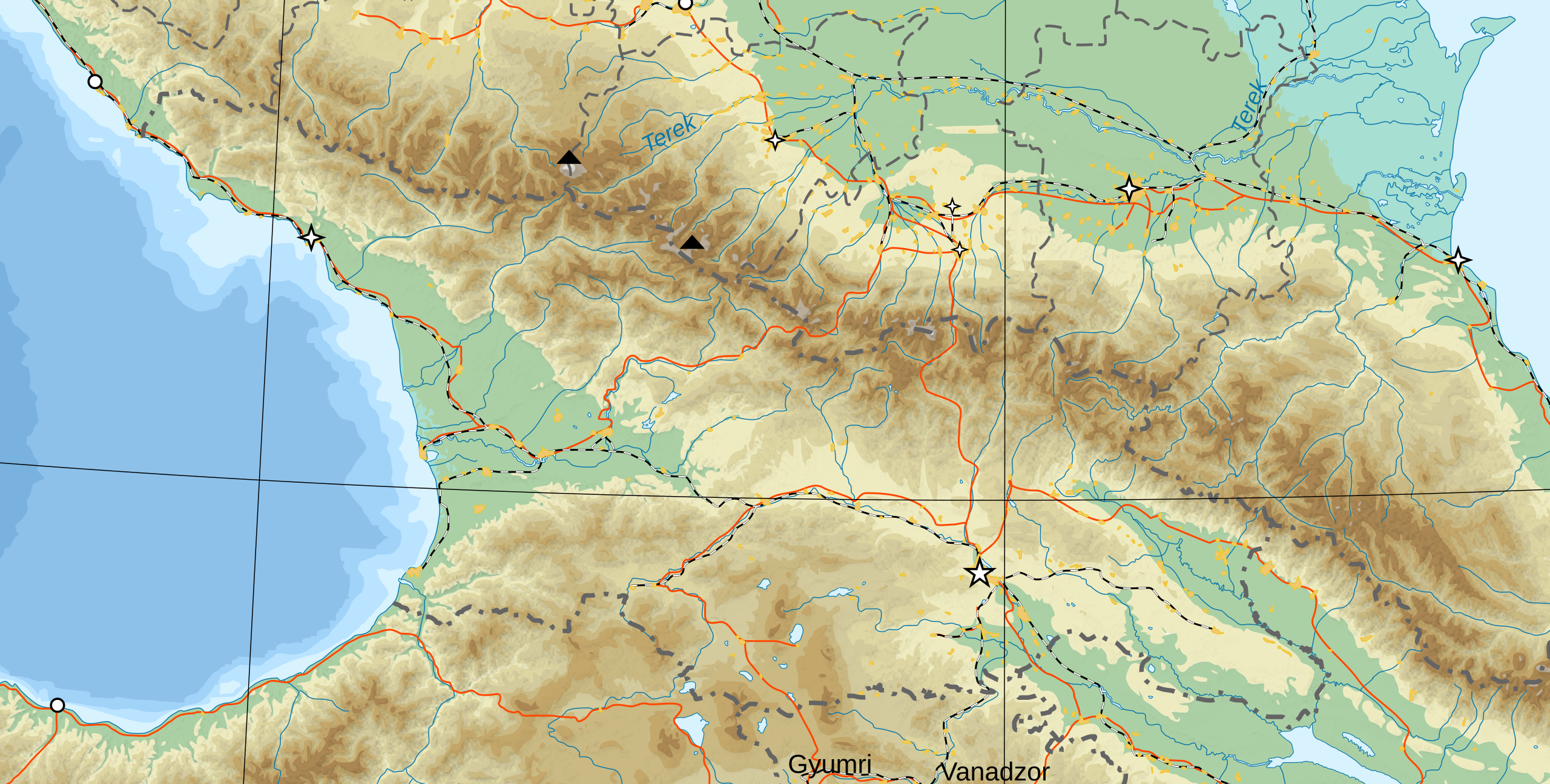
Deutsch: Topographische Karte von Kaukasien, französische Version English: Topographic map in French of Caucasus Français : Carte topographique en français du Caucase |
||
| Date | (UTC) | ||
| Source | |||
| Author |
|
||
| SVG development |
|

Licensing
[edit]
I, the copyright holder of this work, hereby publish it under the following licenses:
This file is licensed under the Creative Commons Attribution-Share Alike 3.0 Unported, 2.5 Generic, 2.0 Generic and 1.0 Generic license.
- You are free:
- to share – to copy, distribute and transmit the work
- to remix – to adapt the work
- Under the following conditions:
- attribution – You must give appropriate credit, provide a link to the license, and indicate if changes were made. You may do so in any reasonable manner, but not in any way that suggests the licensor endorses you or your use.
- share alike – If you remix, transform, or build upon the material, you must distribute your contributions under the same or compatible license as the original.

|
Permission is granted to copy, distribute and/or modify this document under the terms of the GNU Free Documentation License, Version 1.2 or any later version published by the Free Software Foundation; with no Invariant Sections, no Front-Cover Texts, and no Back-Cover Texts. A copy of the license is included in the section entitled GNU Free Documentation License. |
You may select the license of your choice.
Original upload log
[edit]
This image is a derivative work of the following images:
- File:Caucasus_topo_map-blank.jpg licensed with Cc-by-sa-3.0,2.5,2.0,1.0, GFDL
- 2008-11-08T17:03:26Z Bourrichon 1155x898 (203162 Bytes) == Summary == {{Information |Description={{de|Topographische Karte von [[:de:Kaukasien|Kaukasien]], französische Version}}{{en|Topographic map in French of [[:en:Caucasus|Caucasus]]}}{{fr|Carte topographique en français du
Uploaded with derivativeFX
File history
Click on a date/time to view the file as it appeared at that time.
| Date/Time | Thumbnail | Dimensions | User | Comment | |
|---|---|---|---|---|---|
| current | 01:24, 20 January 2020 | | 850 × 430 (4.49 MB) | Takhirgeran Umar (talk | contribs) | clarification |
| 13:42, 20 August 2010 |  | 850 × 430 (4.49 MB) | DerFuchs (talk | contribs) | {{Information |Description={{de|Topographische Karte von Kaukasien, französische Version}}{{en|Topographic map in French of Caucasus}}{{fr|Carte topographique en français du Caucase}} |Source=*[[:File:C |
You cannot overwrite this file.
File usage on Commons
The following page uses this file: