File:Gate Guardian Military ambulance, St George's Barracks - geograph.org.uk - 5496368.jpg
Jump to navigation
Jump to search
Size of this preview: 800 × 450 pixels. Other resolutions: 320 × 180 pixels | 640 × 360 pixels | 1,024 × 576 pixels | 1,280 × 720 pixels | 2,560 × 1,440 pixels | 4,032 × 2,268 pixels.
Original file (4,032 × 2,268 pixels, file size: 1.55 MB, MIME type: image/jpeg)
Captions
Captions
Add a one-line explanation of what this file represents
| Description |
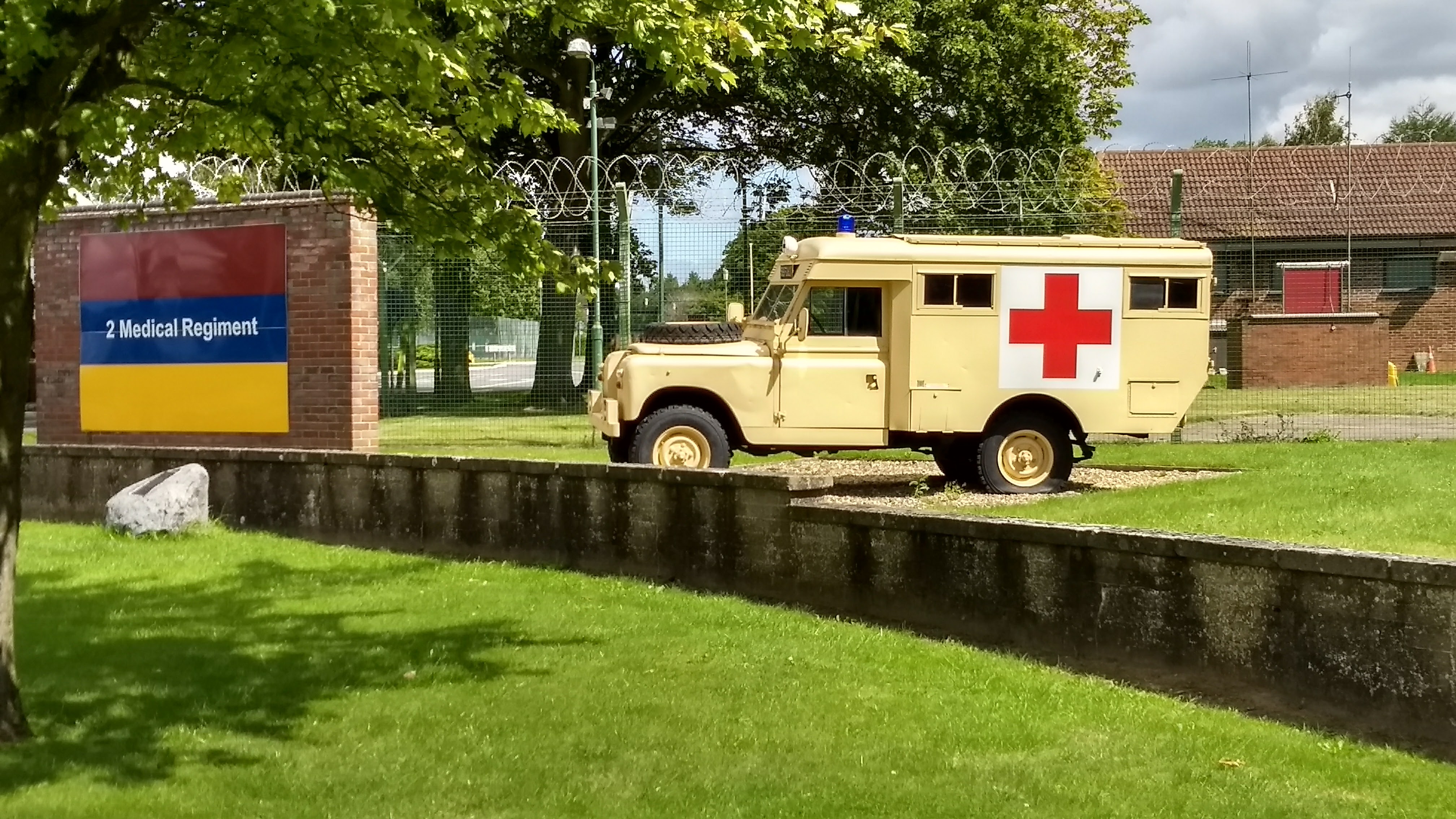
English: Gate Guardian Military ambulance, St George's Barracks |
||
| Date | |||
| Source | geograph.org.uk | ||
| Author | Michael Trolove | ||
| Permission (Reusing this file) |
This file is licensed under the Creative Commons Attribution-Share Alike 2.0 Generic license. Attribution: Michael Trolove
|
||
| Attribution (required by the license) | Michael Trolove / Gate Guardian Military ambulance / | ||

| Camera location | | View this and other nearby images on: OpenStreetMap |
|---|
_heading:67.00&language=en)
| Object location | | View this and other nearby images on: OpenStreetMap |
|---|
_heading:67.00&language=en)
File history
Click on a date/time to view the file as it appeared at that time.
| Date/Time | Thumbnail | Dimensions | User | Comment | |
|---|---|---|---|---|---|
| current | 21:03, 21 September 2017 | | 4,032 × 2,268 (1.55 MB) | Geograph Update Bot (talk | contribs) | Higher-resolution version from Geograph. |
| 22:21, 16 September 2017 |  | 640 × 360 (82 KB) | Dormskirk (talk | contribs) | {{Information |Description ={{en|1=Gate Guardian Military ambulance, St George's Barracks}} |Source =[http://www.geograph.org.uk/photo/5496368 geograph.org.uk] |Author =[http://www.geograph.org.uk/profile/19979 Michael Trolove] |Date... |
You cannot overwrite this file.
File usage on Commons
There are no pages that use this file.
File usage on other wikis
The following other wikis use this file:
- Usage on en.wikipedia.org
- Usage on www.wikidata.org