File:Gardena Freeway (S.R. 91), Compton, California (6026570475).jpg
Original file (3,281 × 1,187 pixels, file size: 1.84 MB, MIME type: image/jpeg)
Captions
Captions
Summary
[edit],_Compton,_California_(6026570475).jpg&action=edit§ion=1)
| Description |
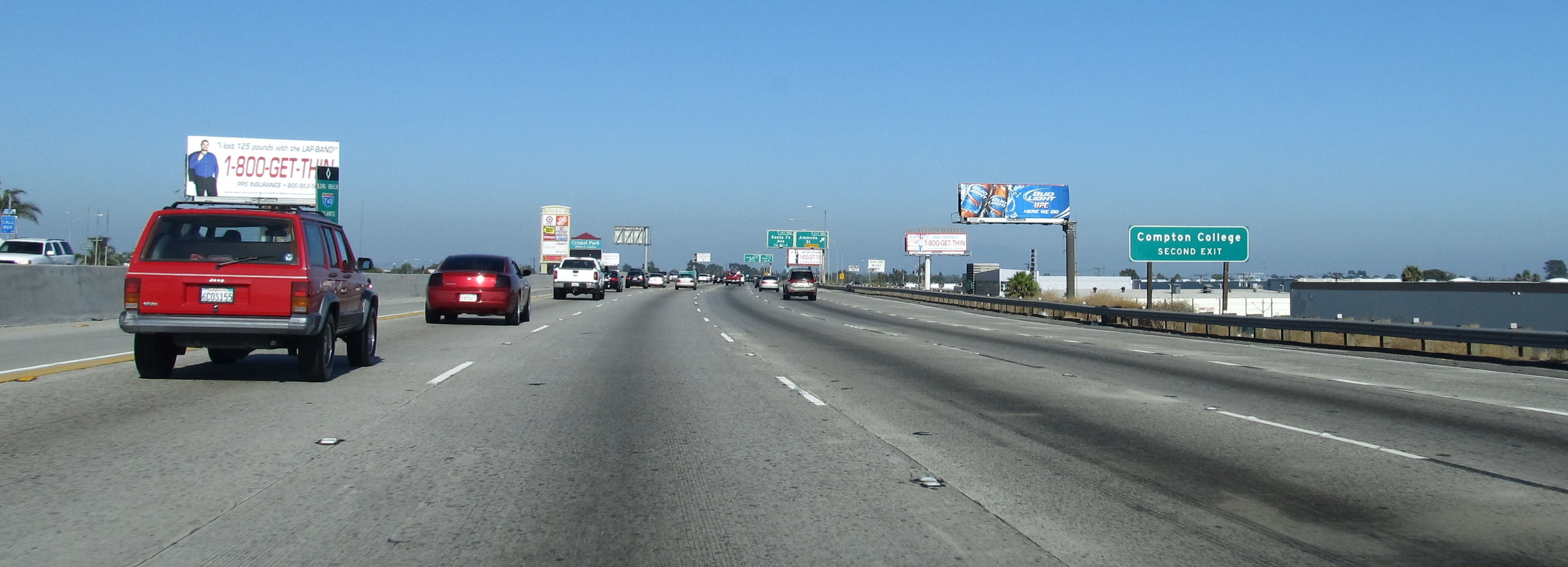
English: Compton is a city in southern Los Angeles County, California, United States, situated southeast of downtown Los Angeles. The city of Compton is one of the oldest cities in the county and on May 11, 1888, was the eighth city to incorporate. As of the 2010 United States Census, the city had a total population of 96,455. The city is generally low income and is home to a relatively young community, at an average 25 years of age, compared to the American median age of 35.
In the 1940s and 1950s, the community of Compton became a popular destination in Southern California for African Americans relocating from the Southern United States due to the Second Great Migration, as well as surrounding cities in southern Los Angeles County. While its population was predominately black for many decades, the city has seen major growth in Latino immigration since the 1980s, and Latinos currently make up the largest ethnic group within Compton city limits as of 2010. Since the 1980s, the city of Compton was popularized in American media due to many hip hop groups and rappers originating from the community, such as the gangsta rap crew N.W.A, who are best known for their debut album, Straight Outta Compton, and are widely considered one of the seminal acts of the gangsta rap sub-genre. The city of Compton as well as southern Los Angeles County in general is notorious for its heavy concentration of gangs and gang violence. en.wikipedia.org/wiki/Compton,_Ca en.wikipedia.org/wiki/Wikipedia:Text_of_Creative_Commons_... |
| Date | |
| Source | Gardena Freeway (S.R. 91), Compton, California |
| Author | Ken Lund from Reno, Nevada, USA |
| Camera location | | View this and other nearby images on: OpenStreetMap |
|---|
,_Compton,_California_(6026570475).jpg¶ms=033.873836_N_-118.221784_E_globe:Earth_type:camera_source:Flickr_&language=en)
Licensing
[edit],_Compton,_California_(6026570475).jpg&action=edit§ion=2)
- You are free:
- to share – to copy, distribute and transmit the work
- to remix – to adapt the work
- Under the following conditions:
- attribution – You must give appropriate credit, provide a link to the license, and indicate if changes were made. You may do so in any reasonable manner, but not in any way that suggests the licensor endorses you or your use.
- share alike – If you remix, transform, or build upon the material, you must distribute your contributions under the same or compatible license as the original.
| This image was originally posted to Flickr by Ken Lund at https://flickr.com/photos/75683070@N00/6026570475 (archive). It was reviewed on 12 February 2018 by FlickreviewR 2 and was confirmed to be licensed under the terms of the cc-by-sa-2.0. |
File history
Click on a date/time to view the file as it appeared at that time.
| Date/Time | Thumbnail | Dimensions | User | Comment | |
|---|---|---|---|---|---|
| current | 14:13, 12 February 2018 | 3,281 × 1,187 (1.84 MB) | Artix Kreiger 2 (talk | contribs) | Transferred from Flickr via Flickr2Commons |
You cannot overwrite this file.
File usage on Commons
There are no pages that use this file.
,_Compton,_California_(6026570475).jpg&oldid=886441879)