File:Gadwall Nest.jpg
Jump to navigation
Jump to search
Size of this preview: 800 × 554 pixels. Other resolutions: 320 × 222 pixels | 640 × 443 pixels | 1,024 × 710 pixels | 1,130 × 783 pixels.
Original file (1,130 × 783 pixels, file size: 262 KB, MIME type: image/jpeg)
Captions
Captions
Add a one-line explanation of what this file represents
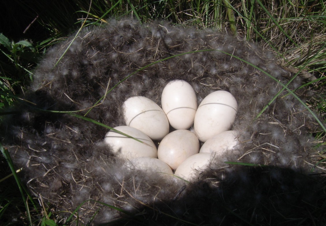
| Description | This Gadwall nest was found on Winberg Waterfowl Production Area (WPA). Gadwall line the sides of their nest with feathers. | ||
| Date | |||
| Source | Flickr: Gadwall Nest | ||
| Author | USFWS Mountain-Prairie; Credit: Char Binstock / USFWS (2012) | ||
| Permission (Reusing this file) |
This file is licensed under the Creative Commons Attribution 2.0 Generic license.
|
| Camera location | | View this and other nearby images on: OpenStreetMap |
|---|
File history
Click on a date/time to view the file as it appeared at that time.
| Date/Time | Thumbnail | Dimensions | User | Comment | |
|---|---|---|---|---|---|
| current | 18:46, 21 April 2013 | | 1,130 × 783 (262 KB) | Flickr upload bot (talk | contribs) | Uploaded from http://flickr.com/photo/51986662@N05/8206386192 using Flickr upload bot |
You cannot overwrite this file.
File usage on Commons
The following 2 pages use this file:
File usage on other wikis
The following other wikis use this file:
- Usage on ar.wikipedia.org
- Usage on ast.wikipedia.org
- Usage on en.wikipedia.org
- Usage on es.wikipedia.org
- Usage on ko.wikipedia.org
- Usage on lv.wikipedia.org
- Usage on ne.wikipedia.org
- Usage on ru.wikipedia.org
- Usage on sk.wikipedia.org
- Usage on sr.wikipedia.org
- Usage on ta.wikipedia.org