File:GS Jönköping.svg
Jump to navigation
Jump to search

Size of this PNG preview of this SVG file: 800 × 598 pixels. Other resolutions: 320 × 239 pixels | 640 × 478 pixels | 1,024 × 765 pixels | 1,280 × 956 pixels | 2,560 × 1,912 pixels | 5,977 × 4,465 pixels.
Original file (SVG file, nominally 5,977 × 4,465 pixels, file size: 642 KB)
Captions
Captions
Add a one-line explanation of what this file represents
| Description |
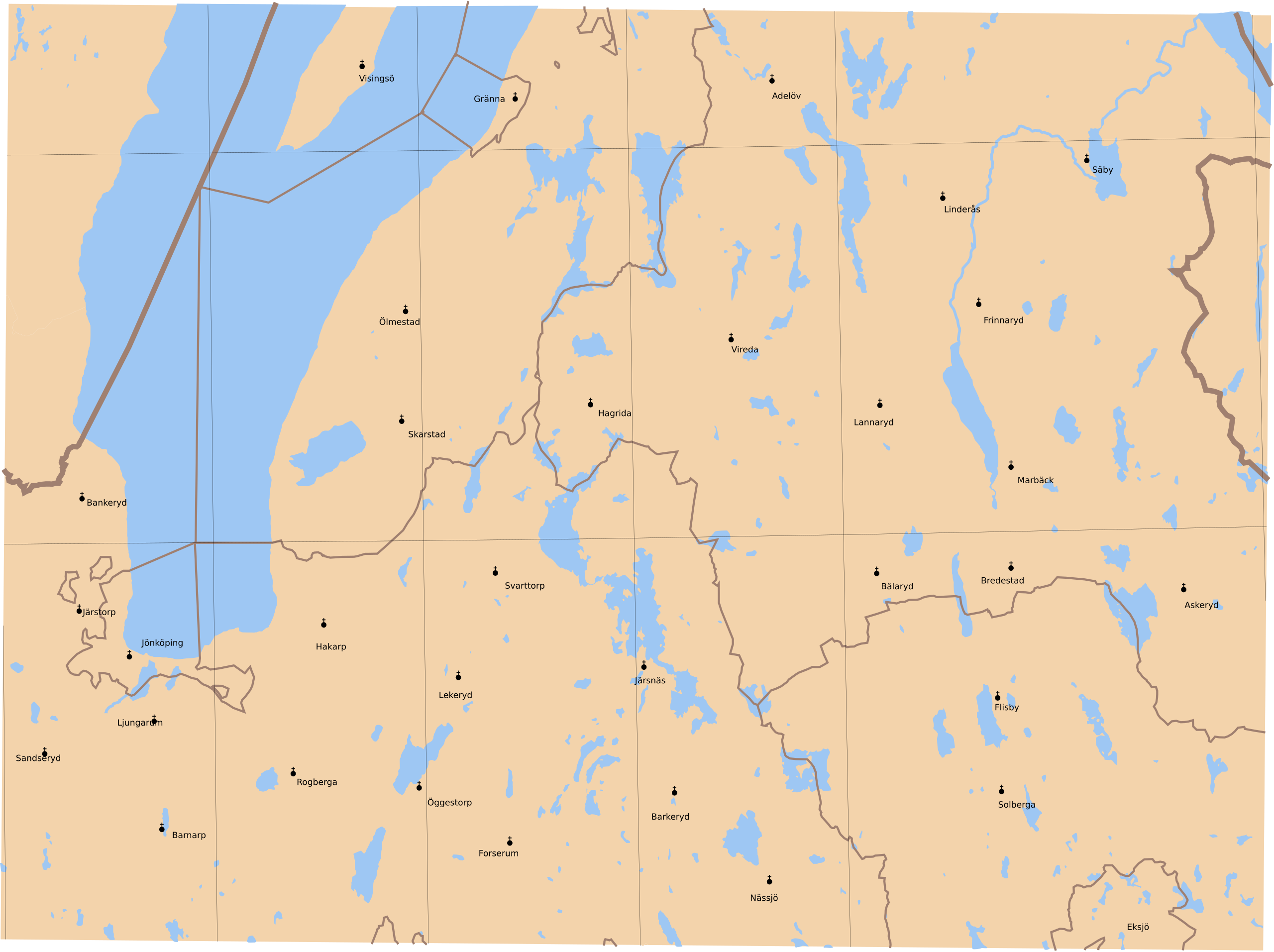
English: Map showing borders of parishes and hundreds in the vicinity of Jönköping, based on information from map by Generalstaben.
35. Jönköping Generalstabens karta öfver Sverige 1887. Uppmätt åren 1880 och 1881. |
| Date | (1884) |
| Source | Lantmäteriet |
| Author | Own work and Generalstaben |
| Permission (Reusing this file) |
This file is licensed under the Creative Commons Attribution 3.0 Unported license. Attribution: Edaen
|
| Other versions | Derivative works of this file: Grund Vartofta härad.svg |
File history
Click on a date/time to view the file as it appeared at that time.
| Date/Time | Thumbnail | Dimensions | User | Comment | |
|---|---|---|---|---|---|
| current | 14:21, 11 October 2010 | | 5,977 × 4,465 (642 KB) | Edaen (talk | contribs) | {{Information |Description={{en|1=Map showing borders of parishes and hundreds in the vicinity of Jönköping, based on information from map by Generalstaben. <small>'''35. Jönköping''' Generalstabens karta öfver Sverige 1887. Uppmätt åren 1880 oc |
You cannot overwrite this file.
File usage on Commons
The following page uses this file: