File:GS Hjo.svg
Jump to navigation
Jump to search

Size of this PNG preview of this SVG file: 800 × 598 pixels. Other resolutions: 320 × 239 pixels | 640 × 479 pixels | 1,024 × 766 pixels | 1,280 × 957 pixels | 2,560 × 1,914 pixels | 5,973 × 4,466 pixels.
Original file (SVG file, nominally 5,973 × 4,466 pixels, file size: 288 KB)
Captions
Captions
Add a one-line explanation of what this file represents
| Description |
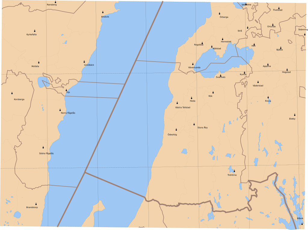
English: Map showing borders of parishes and hundreds in the vicinity of Hjo, based on information from map by Generalstaben.
44. Hjo Generalstabenskarta öfver Sverige 1884 Uppmätt åren 1879 och 1880 |
| Date | (1884) |
| Source | Lantmäteriet |
| Author | Own work and Generalstaben |
| Permission (Reusing this file) |
This file is licensed under the Creative Commons Attribution 3.0 Unported license. Attribution: Edaen
|
| Other versions | Derivative works of this file: Grund Vartofta härad.svg |
File history
Click on a date/time to view the file as it appeared at that time.
| Date/Time | Thumbnail | Dimensions | User | Comment | |
|---|---|---|---|---|---|
| current | 13:50, 11 October 2010 | | 5,973 × 4,466 (288 KB) | Edaen (talk | contribs) | {{Information |Description={{en|1=Map showing borders of parishes and hundreds in the vicinity of Hjo, based on information from map by Generalstaben. <small>'''44. Hjo''' Generalstabenskarta öfver Sverige 1884 Uppmätt åren 1879 och 1880</small>}} | |
You cannot overwrite this file.
File usage on Commons
There are no pages that use this file.