File:Aerial photograph of 2019 Typhoon Hagibis flood in Saitama prefecture - GSI 5720.jpg
(Redirected from File:GSI 5720.JPG)

Size of this preview: 800 × 533 pixels. Other resolutions: 320 × 213 pixels | 640 × 427 pixels | 1,024 × 683 pixels | 1,440 × 960 pixels.
Original file (1,440 × 960 pixels, file size: 574 KB, MIME type: image/jpeg)
Captions
Captions
Add a one-line explanation of what this file represents
Summary
[edit]
| Description |
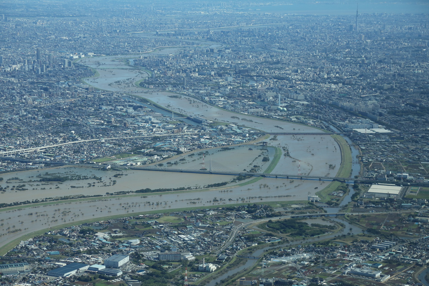
日本語: 令和元年(2019年)台風19号に関する情報・空中写真(斜め写真)・埼玉地区 |
| Date | |
| Source | https://saigai.gsi.go.jp/1/R1_10typhoon19/1013saitama/naname/qv/GSI_5720.JPG |
| Author | 国土地理院 |
| Camera location | | View this and other nearby images on: OpenStreetMap |
|---|
Licensing
[edit]

|
This work is licensed under the Government of Japan Standard Terms of Use (Ver.2.0). The Terms of Use are compatible with the Creative Commons Attribution License 4.0 International. For the terms of use of this work, see this license page.
|
This file is licensed under the Creative Commons Attribution 4.0 International license.
Attribution: 国土地理院 (GSI)
- You are free:
- to share – to copy, distribute and transmit the work
- to remix – to adapt the work
- Under the following conditions:
- attribution – You must give appropriate credit, provide a link to the license, and indicate if changes were made. You may do so in any reasonable manner, but not in any way that suggests the licensor endorses you or your use.
File history
Click on a date/time to view the file as it appeared at that time.
| Date/Time | Thumbnail | Dimensions | User | Comment | |
|---|---|---|---|---|---|
| current | 01:20, 15 October 2019 | | 1,440 × 960 (574 KB) | 片割れ靴下 (talk | contribs) |
You cannot overwrite this file.
File usage on Commons
The following 30 pages use this file:
- Saitama prefecture
- User:片割れ靴下/gallery
- File:GSI 5720.JPG (file redirect)
- Category:Births in Saitama prefecture
- Category:Castles in Saitama prefecture
- Category:Companies based in Saitama prefecture
- Category:Concert halls in Saitama prefecture
- Category:Dams in Saitama prefecture
- Category:Deaths in Saitama prefecture
- Category:Defunct companies based in Saitama prefecture
- Category:Education in Saitama prefecture
- Category:Factories in Saitama prefecture
- Category:Hospitals in Saitama prefecture
- Category:Maps of Saitama prefecture
- Category:Michinoeki in Saitama prefecture
- Category:Mountains of Saitama prefecture
- Category:Organizations in Saitama prefecture
- Category:People of Saitama prefecture
- Category:Power plants in Saitama prefecture
- Category:Rail transport in Saitama prefecture
- Category:Roads in Saitama prefecture
- Category:Saitama prefecture
- Category:Sports in Saitama prefecture
- Category:Sports teams in Saitama prefecture
- Category:Towns in Saitama prefecture
- Category:Train stations in Saitama prefecture
- Category:Transport in Saitama prefecture
- Category:Views of Saitama prefecture
- Category:Villages in Saitama prefecture
- Category:Visitor attractions in Saitama prefecture
File usage on other wikis
The following other wikis use this file:
- Usage on ar.wikipedia.org
- Usage on ca.wikipedia.org
- Usage on ce.wikipedia.org
- Usage on cs.wikipedia.org
- Usage on cy.wikipedia.org
- Usage on da.wikipedia.org
- Usage on de.wikivoyage.org
- Usage on es.wikipedia.org
- Usage on eu.wikipedia.org
- Usage on fr.wikivoyage.org
- Usage on ga.wikipedia.org
- Usage on gl.wikipedia.org
- Usage on he.wikipedia.org
- Usage on hu.wikipedia.org
- Usage on hy.wikipedia.org
- Usage on no.wikipedia.org
- Usage on os.wikipedia.org
- Usage on pl.wikipedia.org
- Usage on ru.wikinews.org
- Usage on sr.wikipedia.org
- Usage on tg.wikipedia.org
- Usage on tt.wikipedia.org
- Usage on vec.wikipedia.org
- Usage on www.wikidata.org