File:GER — BY — Oberbayern — Landkreis München — Gemeinde Brunnthal — Brunnthal Ort — Münchner Str. 5 (Rathaus) Mattes 2022-06-19.jpg
Jump to navigation
Jump to search

Size of this preview: 800 × 368 pixels. Other resolutions: 320 × 147 pixels | 640 × 295 pixels | 1,024 × 472 pixels | 1,280 × 589 pixels | 3,648 × 1,680 pixels.
Original file (3,648 × 1,680 pixels, file size: 1.9 MB, MIME type: image/jpeg)
Captions
Captions
Add a one-line explanation of what this file represents
Summary
[edit]_Mattes_2022-06-19.jpg&action=edit§ion=1)
| Description |
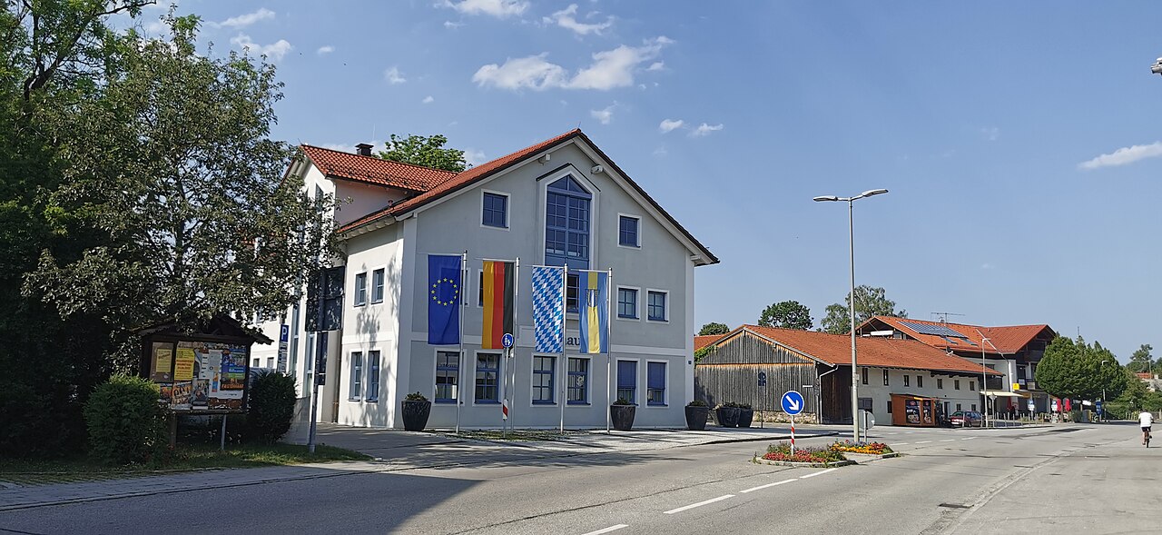
Deutsch: Rathaus |
| Date | Taken on 19 June 2022 |
| Source | Self-photographed |
| Author | User:Mattes |
| Camera location | | View this and other nearby images on: OpenStreetMap |
|---|
_Mattes_2022-06-19.jpg¶ms=048.007125_N_0011.684467_E_globe:Earth_type:camera_scale:12500_&language=en)
Licensing
[edit]_Mattes_2022-06-19.jpg&action=edit§ion=2)
This file is licensed under the Creative Commons Attribution 3.0 Germany license.
- You are free:
- to share – to copy, distribute and transmit the work
- to remix – to adapt the work
- Under the following conditions:
- attribution – You must give appropriate credit, provide a link to the license, and indicate if changes were made. You may do so in any reasonable manner, but not in any way that suggests the licensor endorses you or your use.

File history
Click on a date/time to view the file as it appeared at that time.
| Date/Time | Thumbnail | Dimensions | User | Comment | |
|---|---|---|---|---|---|
| current | 19:28, 21 June 2022 | | 3,648 × 1,680 (1.9 MB) | Mateus2019 (talk | contribs) | == {{int:filedesc}} == {{Information |Description={{Loc desc}} {{GER}} >> Bayern >> Regierungsbezirk Oberbayern >> Landkreis München >> Gemeinde Brunnthal >> Brunnthal Ort >> Münchner Str. 5 {{de|1=Rathaus}} |Date={{Taken on |1=2022-06-19 |cat= |location=Germany |source= }} |Source={{Self-photographed}} |Author=User:Mattes |Permission= |other_versions= }} {{Location possible}} =={{int:license-header}}== {{cc-by-3.0-de}} Category:Rathaus Brunnthal [[Category:Buildings wit... |
You cannot overwrite this file.
File usage on Commons
The following page uses this file:
_Mattes_2022-06-19.jpg&oldid=904551752)