File:GER — BY — Landkreis Garmisch-Partenkirchen — Mittenwald — Karwendelgrube (Schilder Bayern und Tirol).JPG
Jump to navigation
Jump to search

Size of this preview: 800 × 600 pixels. Other resolutions: 320 × 240 pixels | 640 × 480 pixels | 1,024 × 768 pixels | 1,280 × 960 pixels | 2,560 × 1,920 pixels | 4,032 × 3,024 pixels.
Original file (4,032 × 3,024 pixels, file size: 3.07 MB, MIME type: image/jpeg)
Captions
Captions
Add a one-line explanation of what this file represents
Summary
[edit].JPG&action=edit§ion=1)
| Description |
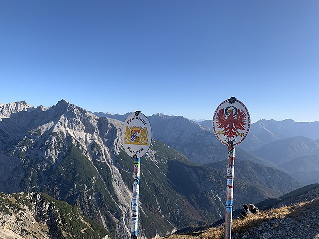
Deutsch: Schilder an der Staatsgrenze von Österreich und Deutschland (Bayern und Tirol) |
| Date | Taken on 26 October 2019 |
| Source | Self-photographed |
| Author | User:Mattes |
nearby
| Camera location | | View this and other nearby images on: OpenStreetMap |
|---|
.JPG¶ms=047.428417_N_0011.297169_E_globe:Earth_type:camera_scale:25000_&language=en)
Licensing
[edit].JPG&action=edit§ion=2)
This file is licensed under the Creative Commons Attribution 2.0 Germany license.
- You are free:
- to share – to copy, distribute and transmit the work
- to remix – to adapt the work
- Under the following conditions:
- attribution – You must give appropriate credit, provide a link to the license, and indicate if changes were made. You may do so in any reasonable manner, but not in any way that suggests the licensor endorses you or your use.

This photograph was taken with an iPhone X
File history
Click on a date/time to view the file as it appeared at that time.
| Date/Time | Thumbnail | Dimensions | User | Comment | |
|---|---|---|---|---|---|
| current | 17:35, 3 November 2019 | | 4,032 × 3,024 (3.07 MB) | Mateus2019 (talk | contribs) | == {{int:filedesc}} == {{Information |Description={{GER}} > {{Bavaria}} > Regierungsbezirk Oberbayern > Landkreis Garmisch-Partenkirchen > Gemeinde Mittenwald > Karwendelgrube {{de|Schilder Bayern und Tirol}} |Date=2019-10-26 |Source={{Self-photographed}} |Author=User:Mattes |Permission= |other_versions= }} {{Location possible}} == {{int:license-header}} == {{cc-by-2.0-de}} {{Taken with iPhone X}} Category:Border of Austria and Germany [[Category:Signs in Landkreis Ga... |
You cannot overwrite this file.
File usage on Commons
The following page uses this file:
.JPG&oldid=845215595)