File:FukushimaKendo3Go2006-10.jpg
Jump to navigation
Jump to search
Size of this preview: 800 × 600 pixels. Other resolutions: 320 × 240 pixels | 640 × 480 pixels | 1,024 × 768 pixels | 1,280 × 960 pixels | 1,600 × 1,200 pixels.
Original file (1,600 × 1,200 pixels, file size: 459 KB, MIME type: image/jpeg)
Captions
Captions
Add a one-line explanation of what this file represents
Summary
[edit]
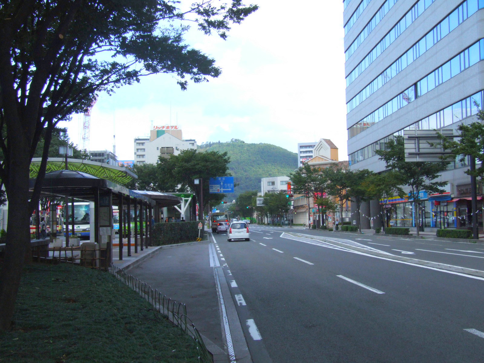
| Description | Fukushima Prefectural road 3, Fukushima-Izaka Line. Fukushima, Fukushima prefecture, Japan. |
| Date | 9 October 2006 (according to Exif data) |
| Source | No machine-readable source provided. Own work assumed (based on copyright claims). |
| Author | No machine-readable author provided. Kinori assumed (based on copyright claims). |
Licensing
[edit]
| I, the copyright holder of this work, release this work into the public domain. This applies worldwide. In some countries this may not be legally possible; if so: I grant anyone the right to use this work for any purpose, without any conditions, unless such conditions are required by law. |
ja: ja:福島県道3号福島飯坂線
[edit]
- 位置 - 日本国、福島県、福島市、栄町。福島駅東口バスプールの東から北向き。
- 撮影日 - 2006年10月9日。
- 撮影者 - Kinori。
- 道路の左が栄恵町、右が陣場町。右の建物はユニックスビル。左に福島駅があるが、見えない。前方の山は湯殿山。
en: Fukushima Prefectural road 3, Fukushima-Izaka Line
[edit]
- Place - Sakaemachi, Fukushima, Fukushima prefecture, Japan.
- Date - October 9, 2006.
- Photographer - Kinori.
- Sakaemachi is the left of the street. The right is Jinbachō. The right building is Yunikkusu-Biru (Unix Bld.?). The front mountain is Mt. Yudono.
File history
Click on a date/time to view the file as it appeared at that time.
| Date/Time | Thumbnail | Dimensions | User | Comment | |
|---|---|---|---|---|---|
| current | 00:29, 19 October 2006 | | 1,600 × 1,200 (459 KB) | Kinori (talk | contribs) | Fukushima Prefectural road 3, Fukushima-Izaka Line. Fukushima, Fukushima prefecture, Japan. |
You cannot overwrite this file.
File usage on Commons
There are no pages that use this file.
File usage on other wikis
The following other wikis use this file:
- Usage on ja.wikipedia.org
- Usage on www.wikidata.org