File:Fuipisia waterfall - Samoa.jpg
Jump to navigation
Jump to search

Size of this preview: 400 × 600 pixels. Other resolutions: 160 × 240 pixels | 320 × 480 pixels | 512 × 768 pixels | 682 × 1,024 pixels | 1,365 × 2,048 pixels | 2,592 × 3,888 pixels.
Original file (2,592 × 3,888 pixels, file size: 856 KB, MIME type: image/jpeg)
Captions
Captions
Add a one-line explanation of what this file represents
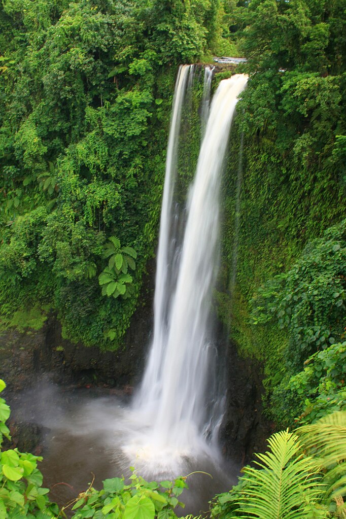
| Description | Fuipisia waterfall on Upolu island in Samoa. | ||
| Date | |||
| Source | originally posted to Flickr as Fuipisia Falls | ||
| Author | Neil | ||
| Permission (Reusing this file) |
This file is licensed under the Creative Commons Attribution 2.0 Generic license.
|
| Camera location | | View this and other nearby images on: OpenStreetMap |
|---|
File history
Click on a date/time to view the file as it appeared at that time.
| Date/Time | Thumbnail | Dimensions | User | Comment | |
|---|---|---|---|---|---|
| current | 04:28, 6 February 2010 | | 2,592 × 3,888 (856 KB) | Flickr upload bot (talk | contribs) | Uploaded from http://flickr.com/photo/21976354@N07/2348894209 using Flickr upload bot |
You cannot overwrite this file.
File usage on Commons
The following page uses this file:
- File:Cascada Fuipisa- Samoa.jpg (file redirect)
File usage on other wikis
The following other wikis use this file:
- Usage on ast.wikipedia.org
- Usage on bn.wikipedia.org
- Usage on ceb.wikipedia.org
- Usage on de.wikipedia.org
- Usage on el.wikipedia.org
- Usage on en.wikipedia.org
- Usage on es.wikipedia.org
- Usage on fa.wikipedia.org
- Usage on fr.wikipedia.org
- Usage on he.wikipedia.org
- Usage on hu.wikipedia.org
- Usage on mk.wikipedia.org
- Usage on ml.wikipedia.org
- Usage on pl.wikipedia.org
- Usage on pt.wikipedia.org
- Usage on sr.wikipedia.org
- Usage on to.wikipedia.org
- Usage on www.wikidata.org