File:French Service géographique de l'armée, Tripoli (FL147393000 2370087).jpg
Jump to navigation
Jump to search

Size of this preview: 439 × 599 pixels. Other resolutions: 176 × 240 pixels | 351 × 480 pixels | 562 × 768 pixels | 750 × 1,024 pixels | 1,500 × 2,048 pixels | 13,110 × 17,896 pixels.
Original file (13,110 × 17,896 pixels, file size: 285.42 MB, MIME type: image/jpeg)
Captions
Captions
Add a one-line explanation of what this file represents
Summary
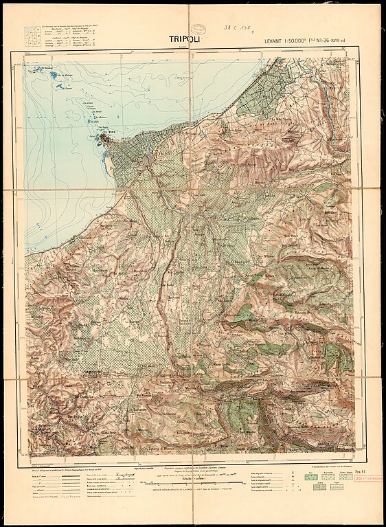
[edit]| Service géographique de l'armée: Tripoli
( |
||||||||||||||||||||||||
|---|---|---|---|---|---|---|---|---|---|---|---|---|---|---|---|---|---|---|---|---|---|---|---|---|
| Artist |
|
|||||||||||||||||||||||
| Title |
Tripoli |
|||||||||||||||||||||||
| Publisher |
Service Géographique de l'Armée |
|||||||||||||||||||||||
| Description |
Tripoli. dressé, héliogravé et publié par le Service Géographique de l'Armée. |
|||||||||||||||||||||||
| Language | French | |||||||||||||||||||||||
| Publication date | 1933 | |||||||||||||||||||||||
| Medium | 1 sheet : color ; | |||||||||||||||||||||||
| Dimensions | height: 74 cm (29.1 in); width: 54 cm (21.2 in) | |||||||||||||||||||||||
| Collection |
|
|||||||||||||||||||||||
| Current location |
|
|||||||||||||||||||||||
| Place of publication | Paris | |||||||||||||||||||||||
| search Merhav catalog | Paris | |||||||||||||||||||||||
| Notes |
English: Levant 1:50,000 ; NI - 36 - xviii -2d | |||||||||||||||||||||||
| scale | 1:50,000 cm | |||||||||||||||||||||||
| IE PID | IE147392996 | |||||||||||||||||||||||
| Rosetta filename | FL147393000 | |||||||||||||||||||||||
| NNL item ID (P3959) | 990023700870205171 | |||||||||||||||||||||||
| search Merhav catalog | French, Service géographique de l'armée | |||||||||||||||||||||||
| search Merhav catalog | Service Géographique de l'Armée | |||||||||||||||||||||||
| Source/Photographer |
|
|||||||||||||||||||||||
| Other versions | ||||||||||||||||||||||||
| Jpg / Tif version |
|
|||||||||||||||||||||||

.jpg)

.jpg&action=edit§ion=1)
Licensing
[edit].jpg&action=edit§ion=2)
This work created by the United Kingdom Government is in the public domain.
This is because it is one of the following:
HMSO has declared that the expiry of Crown Copyrights applies worldwide (ref: HMSO Email Reply)
|
 |
File history
Click on a date/time to view the file as it appeared at that time.
| Date/Time | Thumbnail | Dimensions | User | Comment | |
|---|---|---|---|---|---|
| current | 03:12, 2 August 2023 | | 13,110 × 17,896 (285.42 MB) | Geagea (talk | contribs) | pattypan 22.03 |
You cannot overwrite this file.
File usage on Commons
The following 2 pages use this file:
.jpg&oldid=789192922)