File:Fremont Avenue South near 33rd Street.jpg
Jump to navigation
Jump to search
Size of this preview: 800 × 600 pixels. Other resolutions: 320 × 240 pixels | 640 × 480 pixels | 1,024 × 768 pixels | 1,280 × 960 pixels | 2,048 × 1,536 pixels.
Original file (2,048 × 1,536 pixels, file size: 3.34 MB, MIME type: image/jpeg)
Captions
Captions
Add a one-line explanation of what this file represents
| Description |
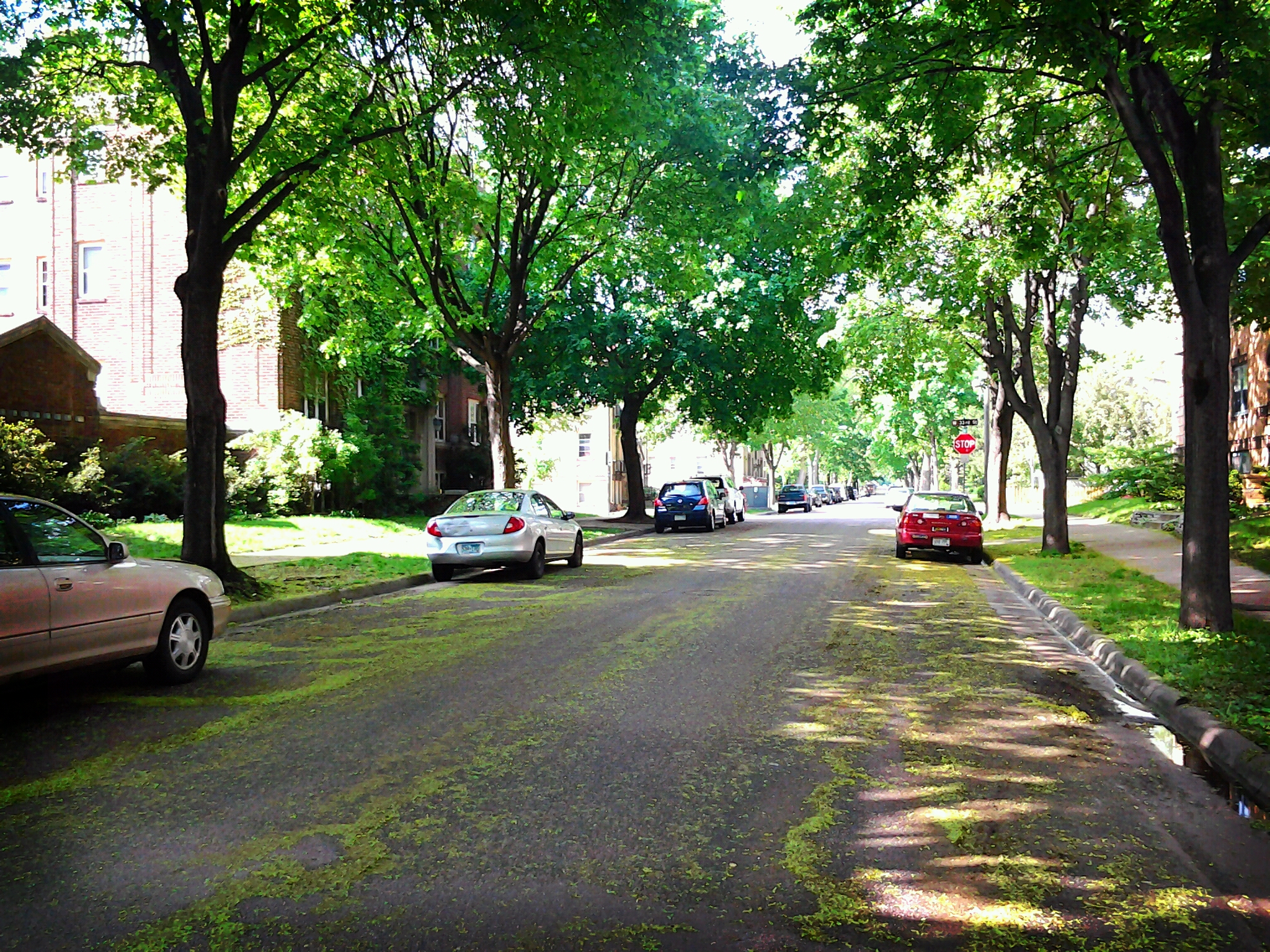
English: Fremont Avenue South, looking north towards 33rd Street. CARAG, Minneapolis, Minnesota, USA. |
||
| Date | Taken on 3 May 2012, 16:21:20 | ||
| Source | Flickr: Somewhere in the Carag neighborhood | ||
| Author | nullrend | ||
| Permission (Reusing this file) |
This file is licensed under the Creative Commons Attribution-Share Alike 2.0 Generic license.
|
File history
Click on a date/time to view the file as it appeared at that time.
| Date/Time | Thumbnail | Dimensions | User | Comment | |
|---|---|---|---|---|---|
| current | 05:07, 15 January 2013 | | 2,048 × 1,536 (3.34 MB) | Flickr upload bot (talk | contribs) | Uploaded from http://flickr.com/photo/28694628@N03/7140053335 using Flickr upload bot |
You cannot overwrite this file.
File usage on Commons
There are no pages that use this file.